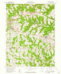
1960 Map of Richmond
USGS Topo · Published 1961About this map
St John Vianney Seminary and the agricultural lands of eastern Ohio define this landscape during a period of industrial transition. The village of Richmond serves as a local hub, with the nearby St John Fisher Ch and Sunset Airport anchoring the community. The terrain is marked by the deep incisions of Town Fork and Rippy Run, which separate elevated features like Middle Ridge and Hildebrand Ridge from the low-lying creek beds.
Find a feature on this map
48 named features on this map. Tap any name to fly to it.
Don’t see what you’re looking for? This feature index may not catch every label — zoom into the map to look around manually.
Map Details
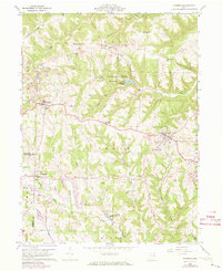
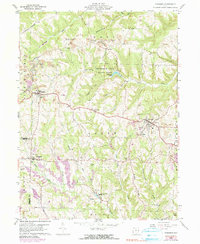
Editions of this 1960 Richmond Map
3 editions found
Other maps of this area

1901 · Cadiz
USGS Topo · 1:62,500

1903 · Cadiz
USGS Topo · 1:62,500

1904 · Wellsville
USGS Topo · 1:62,500

1904 · Steubenville
USGS Topo · 1:62,500

1905 · Salineville
USGS Topo · 1:62,500

1935 · Steubenville
USGS Topo · 1:62,500

1937 · Wellsville
USGS Topo · 1:62,500

1942 · Steubenville
USGS Topo · 1:62,500

1944 · Wellsville
USGS Topo · 1:62,500

1951 · Canton
USGS Topo · 1:250,000