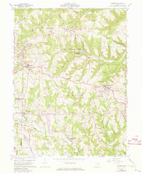
1960 Map of Richmond
USGS Topo · Published 1973About this map
Jefferson Lake State Park and its central Jefferson Lake anchor this map of Jefferson and Harrison counties, showing a landscape defined by its ridge-and-valley topography and active industrial history. The terrain is dominated by prominent landforms like Timothy Ridge and Hildebrand Ridge, where extensive Strip Mines are visible, particularly near the settlement of Shane. In the southern portion of the quadrangle, the St John Vianney Seminary stands near Salem, reflecting the area's institutional history alongside traditional farming and mining.
Find a feature on this map
45 named features on this map. Tap any name to fly to it.
Don’t see what you’re looking for? This feature index may not catch every label — zoom into the map to look around manually.
Map Details
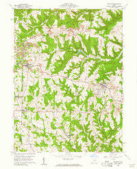
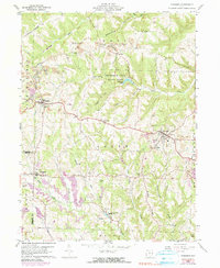
Editions of this 1960 Richmond Map
3 editions found
Other maps of this area

1901 · Cadiz
USGS Topo · 1:62,500

1903 · Cadiz
USGS Topo · 1:62,500

1904 · Wellsville
USGS Topo · 1:62,500

1904 · Steubenville
USGS Topo · 1:62,500

1905 · Salineville
USGS Topo · 1:62,500

1935 · Steubenville
USGS Topo · 1:62,500

1937 · Wellsville
USGS Topo · 1:62,500

1942 · Steubenville
USGS Topo · 1:62,500

1944 · Wellsville
USGS Topo · 1:62,500

1951 · Canton
USGS Topo · 1:250,000