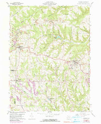
1960 Map of Richmond
USGS Topo · Published 1990About this map
Strip mines carve into the hills of Jefferson and Harrison counties, illustrating the heavy industrial footprint of the mid-20th century. This area, situated within the historical Old Seven Ranges, shows a landscape defined by prominent high ground like Middle Ridge and Timothy Ridge. At the center of the sheet, the Jefferson Lake State Park and Jefferson Lake provide a recreational contrast to the nearby coal extraction operations.
Find a feature on this map
51 named features on this map. Tap any name to fly to it.
Don’t see what you’re looking for? This feature index may not catch every label — zoom into the map to look around manually.
Map Details
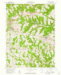
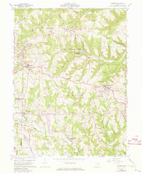
Editions of this 1960 Richmond Map
3 editions found
Other maps of this area

1901 · Cadiz
USGS Topo · 1:62,500

1903 · Cadiz
USGS Topo · 1:62,500

1904 · Wellsville
USGS Topo · 1:62,500

1904 · Steubenville
USGS Topo · 1:62,500

1905 · Salineville
USGS Topo · 1:62,500

1935 · Steubenville
USGS Topo · 1:62,500

1937 · Wellsville
USGS Topo · 1:62,500

1942 · Steubenville
USGS Topo · 1:62,500

1944 · Wellsville
USGS Topo · 1:62,500

1951 · Canton
USGS Topo · 1:250,000