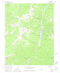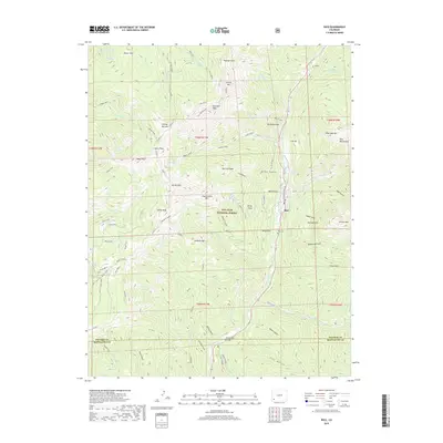
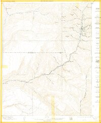
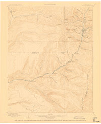
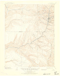
1899 Map of Rico
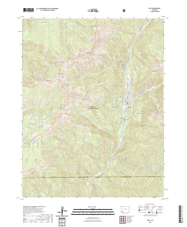
USGS Topo · Published 1939About this map
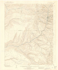
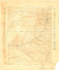
Rico serves as the focal point of this late 19th-century mountain survey, situated along the Rio Grande Southern RR and the upper reaches of the Rio Grande Dolores River. The landscape is defined by its deep drainages and high peaks, including Expectation Mtn, Anchor Mtn, and Storm Peak, which tower over the mining and transit corridors. A distinctive pattern of isolated homesteads and ranching outposts like Wacchters Ranch, Kings Ranch, and Snyders Ranch follows the watercourses, illustrating the early settlement footprint in the Montezuma National Forest. To the south, the Indian Trail Ridge marks a prominent high-elevation divide, while the narrow gauge railway traces a winding path through the valley, connecting the town of Rico with the smaller settlement of Montelores.
Find a feature on this map
53 named features on this map. Tap any name to fly to it.
Don’t see what you’re looking for? This feature index may not catch every label — zoom into the map to look around manually.
Map Details
Editions of this 1899 Rico Map
5 editions found
Historical Maps of Rico Through Time
9 maps found