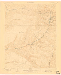
1899 Map of Rico
USGS Topo · Published 1910About this map
Rico serves as the industrial and social anchor of this high-altitude landscape during the late nineteenth-century mining boom. The narrow-gauge Rio Grande Southern railroad snakes along the Dolores River, providing a vital lifeline between isolated settlements like Montelores and Burns. This transportation corridor was essential for moving minerals and livestock through the San Juan Mountains, as evidenced by the numerous homesteads dotting the riverbanks, including Waechter's Ranch, Snyder's Ranch, and King's Ranch.
Find a feature on this map
57 named features on this map. Tap any name to fly to it.
Don’t see what you’re looking for? This feature index may not catch every label — zoom into the map to look around manually.
Map Details
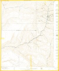
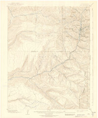
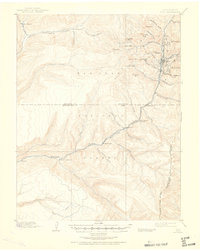
Editions of this 1899 Rico Map
5 editions found
Other maps of this area

1895 · La Plata
USGS Topo · 1:62,500

1897 · La Plata
USGS Topo · 1:62,500

1897 · Rico
USGS Topo · 1:62,500

1897 · Telluride
USGS Topo · 1:62,500

1898 · Durango
USGS Topo · 1:62,500

1898 · Engineer Mountain
USGS Topo · 1:62,500

1898 · Rico
USGS Topo · 1:62,500

1899 · La Plata
USGS Topo · 1:62,500

1899 · Rico
USGS Topo · 1:62,500

1900 · Engineer Mountain
USGS Topo · 1:62,500