
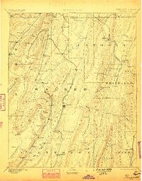
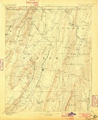
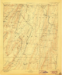
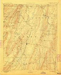
1892 Map of Ringgold
USGS Topo · Published 1892About this map
Lookout Mountain and the prominent Peavine Ridge dominate this late nineteenth-century survey of the Georgia-Tennessee borderlands. The landscape is defined by the strategic rail corridors of the Western and Atlantic Railroad and the Alabama Great Southern Railroad, which facilitated the movement of goods and people through the narrow gaps of the Appalachian foothills. This era shows the region shortly after the establishment of the National Park at Chickamauga, marking the early preservation of one of the Civil War's most significant battlegrounds.
Find a feature on this map
124 named features on this map. Tap any name to fly to it.
Don’t see what you’re looking for? This feature index may not catch every label — zoom into the map to look around manually.
Map Details
Editions of this 1892 Ringgold Map
9 editions found
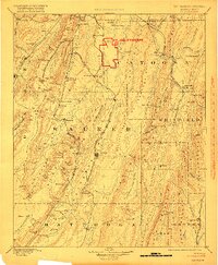
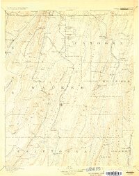
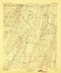
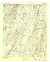
Other maps of this area

1886 · Dalton
USGS Topo · 1:125,000

1886 · Cleveland
USGS Topo · 1:125,000

1886 · Ringgold
USGS Topo · 1:125,000

1886 · Rome
USGS Topo · 1:125,000

1886 · Stevenson
USGS Topo · 1:125,000

1888 · Chattanooga
USGS Topo · 1:125,000

1890 · Cartersville
USGS Topo · 1:125,000

1891 · Cartersville
USGS Topo · 1:125,000

1892 · Cleveland
USGS Topo · 1:125,000

1892 · Dalton
USGS Topo · 1:125,000