
1896 Map of Rio Grande
USGS Topo · Published 1896About this map
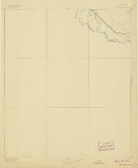
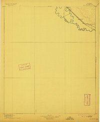
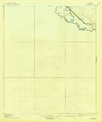
The Rio Grande defines the international boundary on this late nineteenth-century survey, separating Texas and Chihuahua. This map captures a crucial stretch of the United States Mexico border before significant modern engineering, where the river's path dictated the Boundary Line. Along the northern bank, the Southern Pacific R. R. (Galveston Harrisburg and San Antonio Div.) parallels the water, illustrating the vital role of the railroad in connecting this borderland to the wider American economy. The settlement at Fabens and the small station of Rio Grande stand as early nodes of development in El Paso County. The topography highlights the contrast between the river valley and the rising elevations to the north, documenting the geography that shaped early transportation routes and land use in the region.
Find a feature on this map
7 named features on this map. Tap any name to fly to it.
Don’t see what you’re looking for? This feature index may not catch every label — zoom into the map to look around manually.
Map Details
Editions of this 1896 Rio Grande Map
4 editions found
Other maps of this area

1894 · Fort Hancock
USGS Topo · 1:125,000

1896 · El Paso
USGS Topo · 1:125,000

1903 · Cerro Alto
USGS Topo · 1:125,000

1908 · El Paso
USGS Topo · 1:125,000

1939 · Ysleta
USGS Topo · 1:62,500

1941 · Clint
USGS Topo · 1:62,500

1941 · Ysleta
USGS Topo · 1:62,500

1941 · Tornillo
USGS Topo · 1:62,500

1942 · Borrego
USGS Topo · 1:62,500

1943 · Fort Hancock
USGS Topo · 1:62,500