
1932 Map of Rio Hondo
USGS Topo · Published 1932About this map
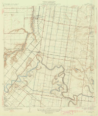
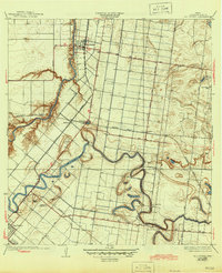
The winding Resaca de los Fresnos snake across this part of Cameron County, defining a landscape of irrigation and agriculture. Cultivated fields and orchard tracts are laid out in a rigid grid, connected by local thoroughfares like Sam Houston Boulevard and East Road. The town of Rio Hondo sits at a strategic bend in the Arroyo Colorado, serving as a hub for the Missouri Pacific railroad line that cuts through the territory.
Find a feature on this map
24 named features on this map. Tap any name to fly to it.
Don’t see what you’re looking for? This feature index may not catch every label — zoom into the map to look around manually.
Map Details
Editions of this 1932 Rio Hondo Map
3 editions found
Other maps of this area

1929 · Rio Hondo
USGS Topo · 1:24,000

1929 · Harlingen
USGS Topo · 1:24,000

1929 · La Paloma
USGS Topo · 1:24,000

1930 · Los Fresnos
USGS Topo · 1:24,000

1930 · Barreda
USGS Topo · 1:24,000

1930 · La Leona
USGS Topo · 1:24,000

1930 · Laguna Atascosa
USGS Topo · 1:24,000

1932 · Combes
USGS Topo · 1:31,680

1932 · Harlingen
USGS Topo · 1:31,680

1933 · Paso Real
USGS Topo · 1:31,680