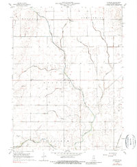
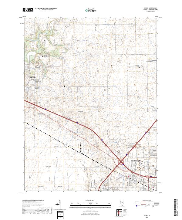
1970 Map of Rising
USGS Topo · Published 1976About this map
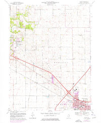
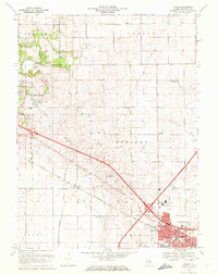
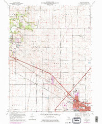
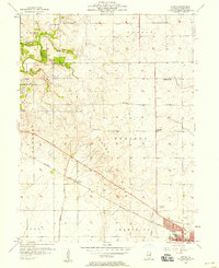
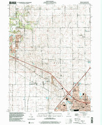
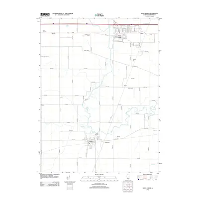
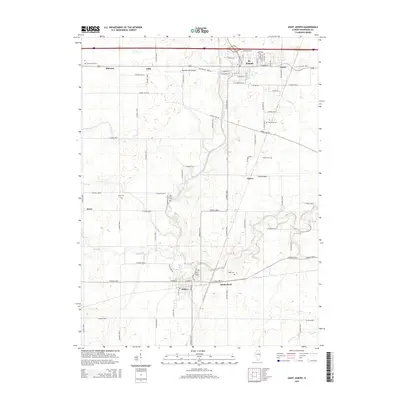
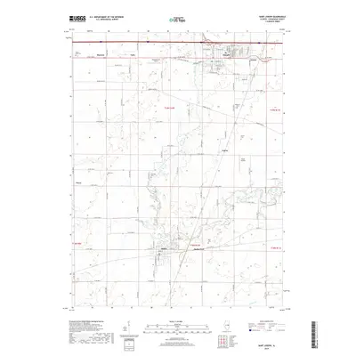
The Champaign city limits expand northward into Hensley township on this mid-1970s survey, marking a period of significant suburban growth. The landscape is defined by the intersection of the Penn Central railroad and major modern interchanges, with the small settlement of Rising situated along the rail line west of the city. While residential developments like Garden Hills School and Thompson Park appear on the southern edge, the northern half of the quadrangle remains largely agricultural, partitioned into traditional township divisions like Newcomb and Condit.
Find a feature on this map
51 named features on this map. Tap any name to fly to it.
Don’t see what you’re looking for? This feature index may not catch every label — zoom into the map to look around manually.
Map Details
Editions of this 1970 Rising Map
3 editions found
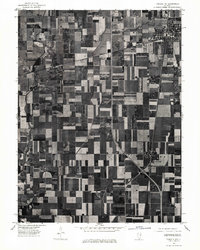
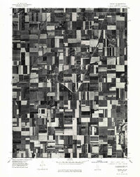
Historical Maps of Champaign Through Time
28 maps found
1957 Rising
Champaign County, IL
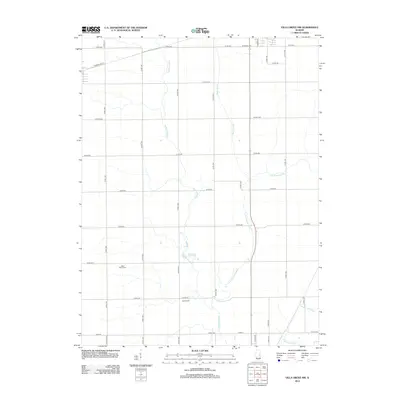
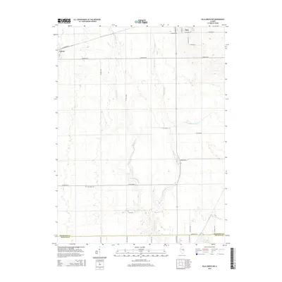
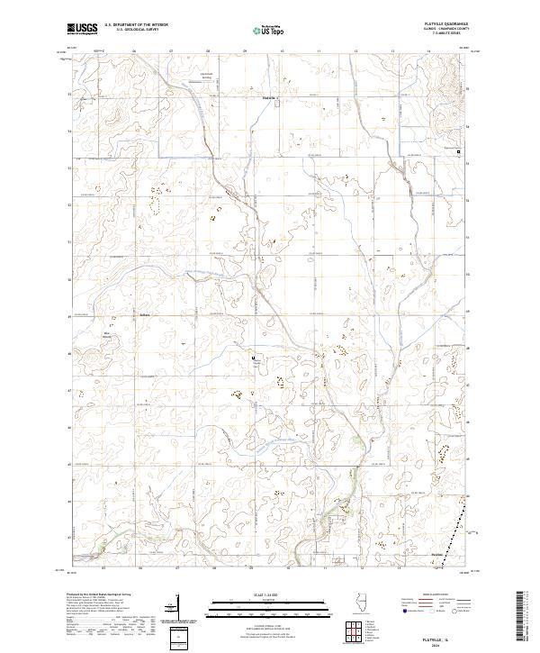
1968 Flatville
Champaign County, IL
1970 Rising
Champaign County, IL
1975 Tuscola NE
Champaign County, IL
1975 Tuscola NW
Champaign County, IL
1982 Villa Grove NW
Champaign County, IL
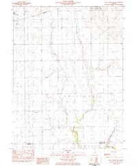
1998 Rising
Champaign County, IL
1998 Villa Grove NW
Champaign County, IL
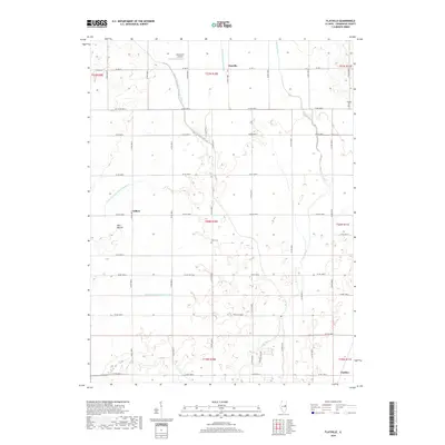
2012 Flatville
Champaign County, IL
2012 Rising
Champaign County, IL
2012 Saint Joseph
Champaign County, IL
2012 Villa Grove NW
Champaign County, IL
2015 Flatville
Champaign County, IL
2015 Rising
Champaign County, IL
2015 Saint Joseph
Champaign County, IL
2015 Villa Grove NW
Champaign County, IL
2018 Flatville
Champaign County, IL
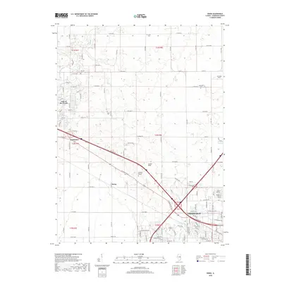
2018 Rising
Champaign County, IL
2018 Saint Joseph
Champaign County, IL
2018 Villa Grove NW
Champaign County, IL
2021 Flatville
Champaign County, IL
2021 Rising
Champaign County, IL
2021 Saint Joseph
Champaign County, IL
2021 Villa Grove NW
Champaign County, IL
2024 Flatville
Champaign County, IL
2024 Rising
Champaign County, IL
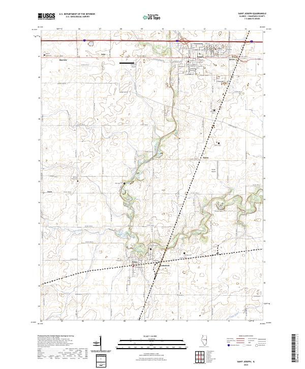
2024 Saint Joseph
Champaign County, IL
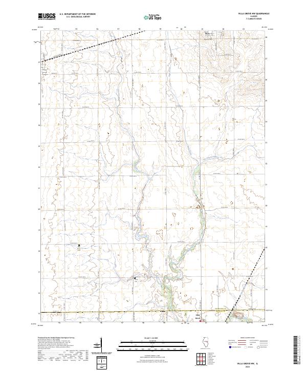
2024 Villa Grove NW
Champaign County, IL