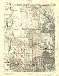
1928 Map of River Forest
USGS Topo · Published 1928About this map
The Des Plaines River winds through this 1920s landscape, marking a distinct boundary between the dense residential blocks of western Chicago and the emerging suburban expansion of Leyden and Proviso townships. The map reveals the intricate urban grid advancing toward the river, punctuated by massive institutional and recreational spaces. Notable among these are the sprawling grounds of the Chicago State Hospital at Dunning and a significant cluster of memorial sites, including Mt Olive Cemetery and Acacia Park Cemetery.
Find a feature on this map
74 named features on this map. Tap any name to fly to it.
Don’t see what you’re looking for? This feature index may not catch every label — zoom into the map to look around manually.
Map Details
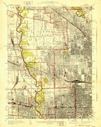
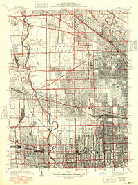
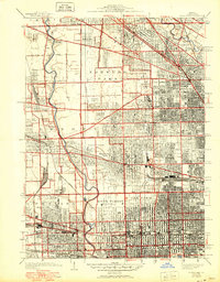
Editions of this 1928 River Forest Map
4 editions found
Other maps of this area

1889 · Chicago
USGS Topo · 1:62,500

1891 · Chicago
USGS Topo · 1:62,500

1891 · Riverside
USGS Topo · 1:62,500

1893 · Riverside
USGS Topo · 1:62,500

1899 · Evanston
USGS Topo · 1:62,500

1900 · Chicago
USGS Topo · 1:62,500

1900 · Riverside
USGS Topo · 1:62,500

1900 · Highwood
USGS Topo · 1:62,500

1901 · Riverside
USGS Topo · 1:62,500

1901 · Chicago
USGS Topo · 1:62,500