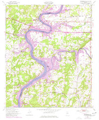
1947 Map of Riverside
USGS Topo · Published 1977About this map
The Coosa River serves as the central artery for this landscape on the border of St. Clair and Talladega Counties, showing the evolution of the river valley through the mid-20th century. Based on 1946 aerial photography with 1970s revisions, the map documents the expansion of Logan Martin Lake and its impact on the surrounding geography, including the creation of Ogletree Island. The settlement of Riverside sits prominently along the Southern railroad line, which traverses the northern section of the sheet.
Find a feature on this map
30 named features on this map. Tap any name to fly to it.
Don’t see what you’re looking for? This feature index may not catch every label — zoom into the map to look around manually.
Map Details
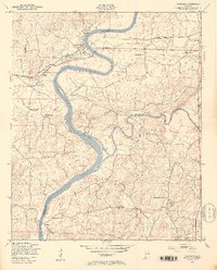
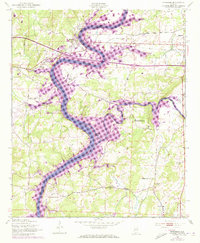
Editions of this 1947 Riverside Map
4 editions found
Other maps of this area

1889 · Springville
USGS Topo · 1:125,000

1890 · Talladega
USGS Topo · 1:125,000

1892 · Springville
USGS Topo · 1:125,000

1892 · Talladega
USGS Topo · 1:125,000

1943 · Talladega
USGS Topo · 1:62,500

1946 · Talladega
USGS Topo · 1:62,500

1947 · Eastaboga
USGS Topo · 1:24,000

1947 · Ragland
USGS Topo · 1:62,500

1947 · Ragland
USGS Topo · 1:24,000

1947 · Riverside
USGS Topo · 1:24,000