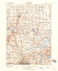
1919 Map of Rives Junction
USGS Topo · Published 1960About this map
Rives Junction and the city of Leslie anchor this landscape during a period of transition in south-central Michigan. The area is defined by the winding course of the Grand River and the Portage River, which feed into an extensive network of wetlands such as Big Swamp and numerous glacial lakes including Pleasant Lake, Gillett Lake, and Goose Lake. This 1919 survey records a high density of rural infrastructure, with nearly every section corner supporting a named schoolhouse like Felt Plain School, Scovel School, or Bachelor School.
Find a feature on this map
105 named features on this map. Tap any name to fly to it.
Don’t see what you’re looking for? This feature index may not catch every label — zoom into the map to look around manually.
Map Details
Editions of this 1919 Rives Junction Map
This is the sole edition of this map. No revisions or reprints were ever made.
Other maps of this area
1908 · Fowlerville
USGS Topo · 1:62,500
1909 · Mason
USGS Topo · 1:62,500
1910 · Fowlerville
USGS Topo · 1:62,500
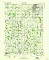
1910 · Lansing
USGS Topo · 1:62,500
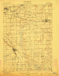
1911 · Mason
USGS Topo · 1:62,500
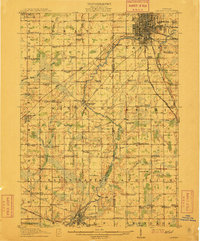
1912 · Lansing
USGS Topo · 1:62,500
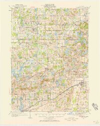
1919 · Stockbridge
USGS Topo · 1:62,500
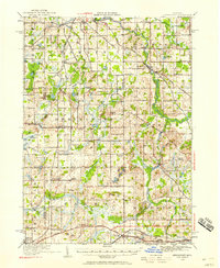
1919 · Springport
USGS Topo · 1:62,500
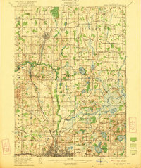
1921 · Rives Junction
USGS Topo · 1:62,500
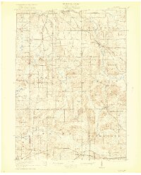
1921 · Springport
USGS Topo · 1:62,500