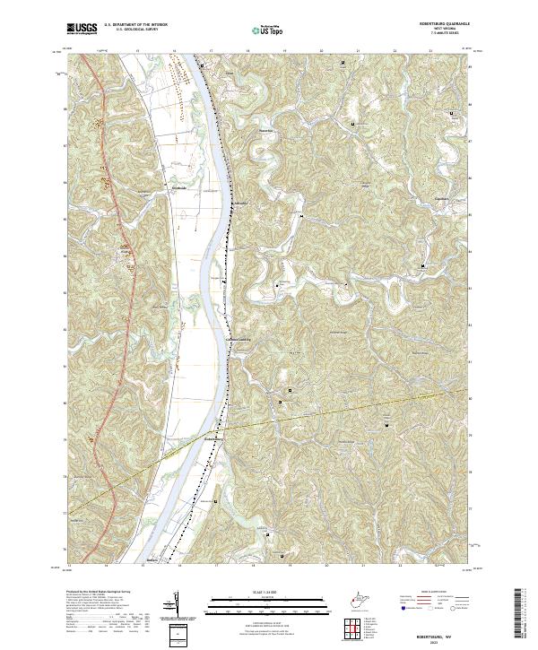
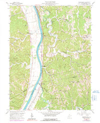
2023 Map of Robertsburg
USGS Topo · Published 2023About this map
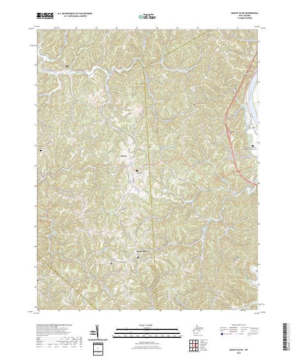
The Kanawha River serves as the central artery for this section of West Virginia, dividing the landscape between the valley flats and the dissected ridges of Mason and Putnam counties. Small settlements like Grimms Landing and Robertsburg are positioned along the riverbank, following the historical pattern of trade and transit that defined this corridor. Further inland, the terrain is characterized by a dense network of hollows and ridges such as Wildcat Ridge and Manila Ridge, where smaller communities like Waterloo and Capehart are found among the tributaries.
Find a feature on this map
108 named features on this map. Tap any name to fly to it.
Don’t see what you’re looking for? This feature index may not catch every label — zoom into the map to look around manually.
Map Details
Editions of this 2023 Robertsburg Map
This is the sole edition of this map. No revisions or reprints were ever made.
Historical Maps of Arbuckle Through Time
14 maps found

1906 Glenwood
Mason County, WV
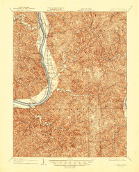
1908 Glenwood
Mason County, WV
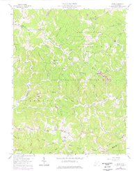
1957 Beech Hill
Mason County, WV
1958 Arlee
Mason County, WV
1958 Mount Alto
Mason County, WV
1958 Mount Olive
Mason County, WV
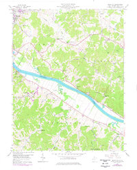
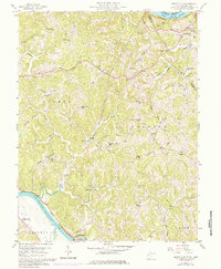
1958 Robertsburg
Mason County, WV
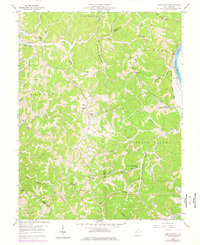
1977 Robertsburg
Mason County, WV
1994 Mount Alto
Mason County, WV
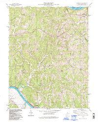
2023 Arlee
Mason County, WV
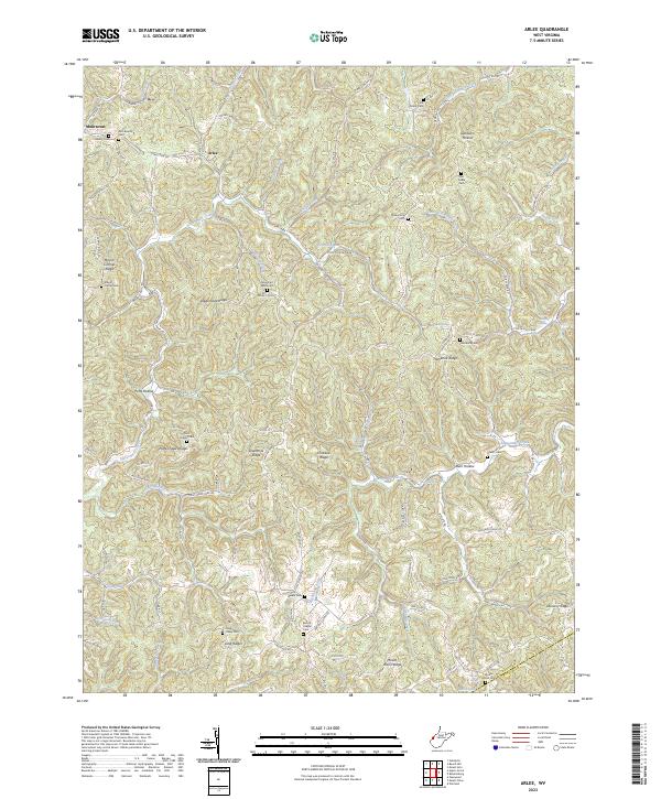
2023 Beech Hill
Mason County, WV
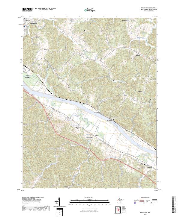
2023 Mount Alto
Mason County, WV
2023 Mount Olive
Mason County, WV
2023 Robertsburg
Mason County, WV