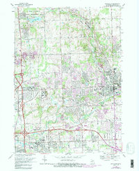
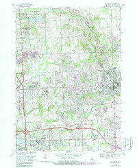
1968 Map of Rochester
USGS Topo · Published 1988About this map
Bald Mountain rises above a landscape defined by postwar expansion and the preservation of large natural spaces within the Bald Mountain State Recreation Area. This late-1960s perspective captures a pivotal moment for eastern Michigan, showcasing the transformation of rural land into major educational hubs like Oakland University and the Oakland Community College (Auburn Hills Campus). While the Clinton River and Paint Creek maintain their historic courses through Rochester, the map documents the rapid subdivision of areas surrounding Auburn Heights and the development of the Conrail corridor. Local history is anchored by established sites such as Mt Avon Cemetery and the Paint Creek Cem, contrasting with modern mid-century landmarks like the Drive-in Theater and the growing residential networks along Walton Blvd and University Drive.
Find a feature on this map
57 named features on this map. Tap any name to fly to it.
Don’t see what you’re looking for? This feature index may not catch every label — zoom into the map to look around manually.
Map Details
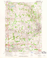
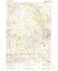
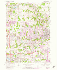
Editions of this 1968 Rochester Map
5 editions found
Other maps of this area

1907 · Pontiac
USGS Topo · 1:62,500

1908 · Rochester
USGS Topo · 1:62,500

1936 · Warren
USGS Topo · 1:31,680

1936 · Birmingham
USGS Topo · 1:31,680

1936 · Rochester
USGS Topo · 1:31,680

1936 · Washington
USGS Topo · 1:31,680

1936 · Pontiac South
USGS Topo · 1:31,680

1936 · Pontiac North
USGS Topo · 1:31,680

1943 · Pontiac South
USGS Topo · 1:24,000

1943 · Pontiac North
USGS Topo · 1:24,000
Featured Places
- Rochester Hills, MI
- Pontiac, MI
- Orion Charter Township, MI
- Auburn Hills, MI
- Oakland Charter Township, MI