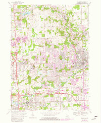
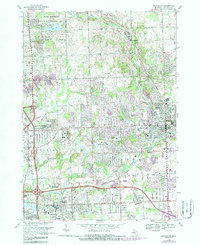
1968 Map of Rochester
USGS Topo · Published 1981About this map
Rochester and its surroundings undergo significant suburban expansion in this updated topographical study, where new residential developments, shown in purple, begin to fill the landscape between the Clinton River and the rolling hills of the Bald Mountain State Recreation Area. The map documents a sophisticated educational network emerging in Oakland Co, including the sprawling grounds of Oakland University and the Oakland Community College (Auburn Hills Campus).
Find a feature on this map
52 named features on this map. Tap any name to fly to it.
Don’t see what you’re looking for? This feature index may not catch every label — zoom into the map to look around manually.
Map Details
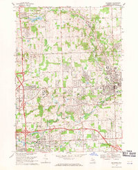
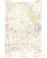
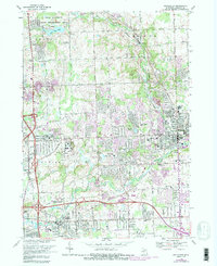
Editions of this 1968 Rochester Map
5 editions found
Other maps of this area

1907 · Pontiac
USGS Topo · 1:62,500

1908 · Rochester
USGS Topo · 1:62,500

1936 · Warren
USGS Topo · 1:31,680

1936 · Birmingham
USGS Topo · 1:31,680

1936 · Rochester
USGS Topo · 1:31,680

1936 · Washington
USGS Topo · 1:31,680

1936 · Pontiac South
USGS Topo · 1:31,680

1936 · Pontiac North
USGS Topo · 1:31,680

1943 · Pontiac South
USGS Topo · 1:24,000

1943 · Pontiac North
USGS Topo · 1:24,000
Featured Places
- Rochester Hills, MI
- Pontiac, MI
- Orion Charter Township, MI
- Auburn Hills, MI
- Oakland Charter Township, MI