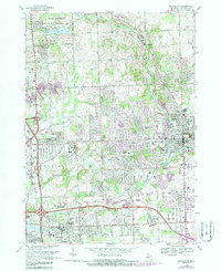
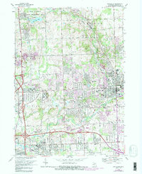
1968 Map of Rochester
USGS Topo · Published 1988About this map
The Clinton River and its tributaries carve through this portion of Oakland County, anchoring the developed settlements of Rochester and Auburn Heights. By the late 1960s, the landscape reflects a significant transition from its agricultural and extractive origins—evident in several scattered Gravel Pits—toward a center for higher education and suburban expansion. The campus of Oakland University and the Oakland Community College (Auburn Hills Campus) occupy prominent tracts of land formerly used for farming.
Find a feature on this map
56 named features on this map. Tap any name to fly to it.
Don’t see what you’re looking for? This feature index may not catch every label — zoom into the map to look around manually.
Map Details
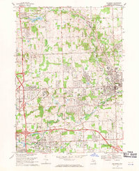
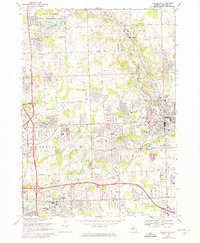
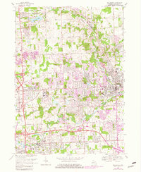
Editions of this 1968 Rochester Map
5 editions found
Other maps of this area

1907 · Pontiac
USGS Topo · 1:62,500

1908 · Rochester
USGS Topo · 1:62,500

1936 · Warren
USGS Topo · 1:31,680

1936 · Birmingham
USGS Topo · 1:31,680

1936 · Rochester
USGS Topo · 1:31,680

1936 · Washington
USGS Topo · 1:31,680

1936 · Pontiac South
USGS Topo · 1:31,680

1936 · Pontiac North
USGS Topo · 1:31,680

1943 · Pontiac South
USGS Topo · 1:24,000

1943 · Pontiac North
USGS Topo · 1:24,000
Featured Places
- Rochester Hills, MI
- Pontiac, MI
- Orion Charter Township, MI
- Auburn Hills, MI
- Oakland Charter Township, MI