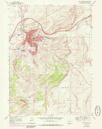
1968 Map of Rock Springs
USGS Topo · Published 1985About this map
Rock Springs sits as a bustling hub of industry and education in the high desert of Sweetwater County, shaped by the Union Pacific railroad and a legacy of mining. The map captures the city during a period of growth, with purple tinting indicating urban expansion around the core residential and commercial districts. Education is a clear priority for the community, evidenced by numerous schools such as Lowell Sch, Lincoln Sch, and the presence of Western Wyoming Community College on the western edge of the settlement.
Find a feature on this map
25 named features on this map. Tap any name to fly to it.
Don’t see what you’re looking for? This feature index may not catch every label — zoom into the map to look around manually.
Map Details
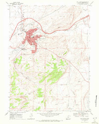
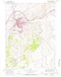
Editions of this 1968 Rock Springs Map
3 editions found
Other maps of this area

1908 · Rock Springs
USGS Topo · 1:62,500

1910 · Rock Springs
USGS Topo · 1:62,500

1954 · Rock Springs
USGS Topo · 1:250,000

1957 · Firehole Basin
USGS Topo · 1:62,500

1958 · Rock Springs
USGS Topo · 1:250,000

1961 · Pilot Butte
USGS Topo · 1:24,000

1961 · Kanda
USGS Topo · 1:24,000

1962 · Rock Springs
USGS Topo · 1:250,000

1966 · Firehole Basin
USGS Topo · 1:62,500

1968 · North Baxter
USGS Topo · 1:24,000