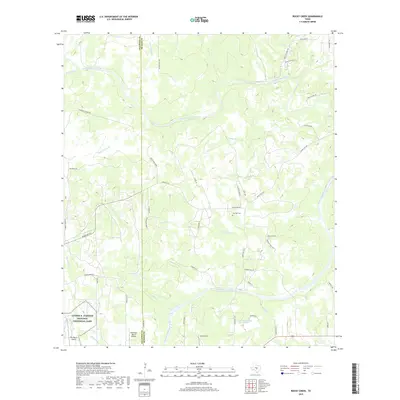
2019 Map of Rocky Creek
USGS Topo · Published 2019About this map
The Pedernales River carves through this Central Texas landscape along the border of Gillespie and Blanco counties. The area is defined by its connection to the 36th President, with a significant portion of the Lyndon B. Johnson National Historical Park occupying the southwest corner, supported by the LBJ Ranch Airport. The map documents a rural network of ranch roads and family-named landmarks, such as Clarence Jacoby Rd and Jones Scheuer Rd, which connect remote homesteads to local hubs.
Find a feature on this map
52 named features on this map. Tap any name to fly to it.
Don’t see what you’re looking for? This feature index may not catch every label — zoom into the map to look around manually.
Map Details
Editions of this 2019 Rocky Creek Map
This is the sole edition of this map. No revisions or reprints were ever made.
Other maps of this area

1887 · Blanco
USGS Topo · 1:125,000

1894 · Fredericksburg
USGS Topo · 1:125,000

1894 · Blanco
USGS Topo · 1:125,000

1954 · Llano
USGS Topo · 1:250,000

1955 · Llano
USGS Topo · 1:250,000

1956 · Llano
USGS Topo · 1:250,000

1961 · Stonewall
USGS Topo · 1:24,000

1961 · Hye
USGS Topo · 1:24,000

1961 · Cave Creek School
USGS Topo · 1:24,000

1961 · Rocky Creek
USGS Topo · 1:24,000