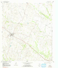
1964 Map of Rogers
USGS Topo · Published 1991About this map
The town of Rogers serves as the central hub of this agricultural landscape in central Texas during the mid-1960s. The survey reveals a region defined by its waterway network, where Elm Creek and its tributary South Elm Creek carve through the terrain. The community of New Colony and the smaller settlement at Edgeworth appear as distinct rural points connected by a developing road system. The map captures the dividing line between Bell and Milam counties, noted here as an indefinite boundary crossing through the drainage of Lipan Creek.
Find a feature on this map
18 named features on this map. Tap any name to fly to it.
Don’t see what you’re looking for? This feature index may not catch every label — zoom into the map to look around manually.
Map Details
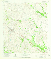
Editions of this 1964 Rogers Map
2 editions found
Other maps of this area

1885 · Taylor
USGS Topo · 1:125,000

1887 · Taylor
USGS Topo · 1:125,000

1892 · Temple
USGS Topo · 1:125,000

1894 · Taylor
USGS Topo · 1:125,000

1910 · Buckholts
USGS Topo · 1:24,000

1912 · Buckholts
USGS Topo · 1:31,680

1931 · Belton
USGS Topo · 1:62,500

1954 · Waco
USGS Topo · 1:250,000

1954 · Austin
USGS Topo · 1:250,000

1955 · Waco
USGS Topo · 1:250,000