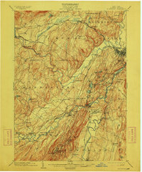
1903 Map of Rosendale
USGS Topo · Published 1912About this map
Esopus Creek and the Rondout Creek dominate this 1901 survey of Ulster County, revealing a landscape defined by water power and early industrial transit. The presence of the New York Ontario And Western and the Ulster And Delaware railroads highlights the region's importance as a transportation corridor between the Catskills and the Hudson Valley. Local industry is anchored by the Mill Hook site and the unique village clusters like High Falls and Rosendale, known for their cement and water-powered history. The map also captures the varied terrain of the area, from the Rosendale Plains to the dramatic heights of Bonticou Crag and Sky Top near Mohonk Lake. Smaller hamlets like Stone Ridge, Tillson, and Kripplebush appear connected by a dense network of early roads, while landmarks like Stone Church provide vital points of reference for genealogists researching the many family settlements established throughout Marbletown and Rochester.
Find a feature on this map
94 named features on this map. Tap any name to fly to it.
Don’t see what you’re looking for? This feature index may not catch every label — zoom into the map to look around manually.
Map Details
Editions of this 1903 Rosendale Map
11 editions found

1903 edition
16.6 x 20.1 inches
1906 edition
16.6 x 20 inches
1908 edition
16.6 x 20.1 inches
1912 edition
16.6 x 20 inches
1917 edition
16.6 x 20.1 inches
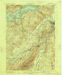
1924 edition
16.6 x 20.1 inches
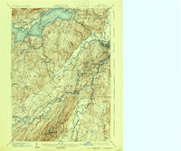
1930 edition
24 x 19.9 inches
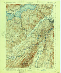
1933 edition
16.6 x 20 inches
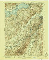
1940 edition
16.6 x 20.1 inches
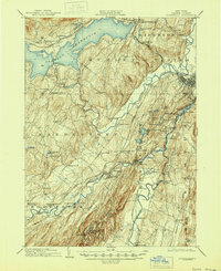
1945 edition
16.9 x 20.7 inches
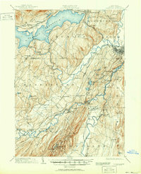
1951 edition
16.9 x 20.8 inches
Other maps of this area

1892 · Kaaterskill
USGS Topo · 1:62,500

1893 · Kaaterskill
USGS Topo · 1:62,500

1893 · Poughkeepsie
USGS Topo · 1:62,500

1894 · Kaaterskill
USGS Topo · 1:62,500

1894 · Poughkeepsie
USGS Topo · 1:62,500

1895 · Catskill
USGS Topo · 1:62,500

1898 · Rhinebeck
USGS Topo · 1:62,500

1899 · Kaaterskill
USGS Topo · 1:62,500

1900 · Phoenicia
USGS Topo · 1:62,500

1901 · Rosendale
USGS Topo · 1:62,500