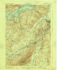
1903 Map of Rosendale
USGS Topo · Published 1924About this map
The Ashokan Reservoir dominates the northern landscape of this Ulster County region, reflecting the significant water infrastructure projects of the early 20th century. This specific edition includes updates from the Chief Engineer of the Board of Water Supply, tracing the reservoir's impact on the pre-existing topography. The industrial and transit corridor along the Delaware and Hudson Canal is clearly visible, paralleling the Rondout Creek through settlements like High Falls and Bruceville.
Find a feature on this map
91 named features on this map. Tap any name to fly to it.
Don’t see what you’re looking for? This feature index may not catch every label — zoom into the map to look around manually.
Map Details
Editions of this 1903 Rosendale Map
11 editions found

1903 edition
16.6 x 20.1 inches
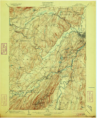
1906 edition
16.6 x 20 inches
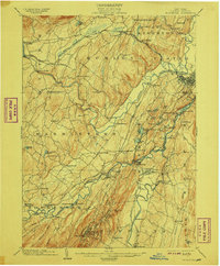
1908 edition
16.6 x 20.1 inches
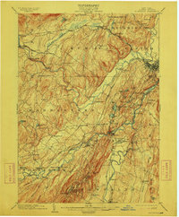
1912 edition
16.6 x 20 inches
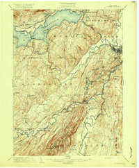
1917 edition
16.6 x 20.1 inches
1924 edition
16.6 x 20.1 inches
1930 edition
24 x 19.9 inches
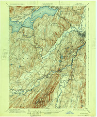
1933 edition
16.6 x 20 inches
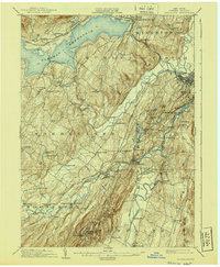
1940 edition
16.6 x 20.1 inches
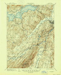
1945 edition
16.9 x 20.7 inches
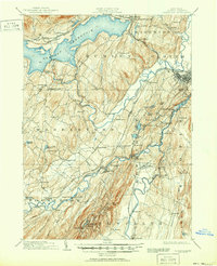
1951 edition
16.9 x 20.8 inches
Other maps of this area

1892 · Kaaterskill
USGS Topo · 1:62,500

1893 · Kaaterskill
USGS Topo · 1:62,500

1893 · Poughkeepsie
USGS Topo · 1:62,500

1894 · Kaaterskill
USGS Topo · 1:62,500

1894 · Poughkeepsie
USGS Topo · 1:62,500

1895 · Catskill
USGS Topo · 1:62,500

1898 · Rhinebeck
USGS Topo · 1:62,500

1899 · Kaaterskill
USGS Topo · 1:62,500

1900 · Phoenicia
USGS Topo · 1:62,500

1901 · Rosendale
USGS Topo · 1:62,500