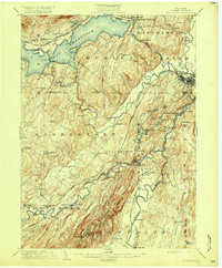
1903 Map of Rosendale
USGS Topo · Published 1917About this map
Ashokan Reservoir dominates the northern reaches of this map, reflecting a significant moment in the hydrological history of Ulster County as the New York City Board of Water Supply worked to transform the landscape. The intricate rail networks of the early twentieth century are clearly visible, including the Ulster and Delaware running near the reservoir and the New York Ontario and Western traversing the southern portion of the sheet. The terrain transitions from the elevations of Bonticou Crag and Skytop in the south toward the lower river valleys. Established settlements such as Stone Ridge, High Falls, and the village of Rosendale sit along a complex of waterways including Esopus Creek and the Wallkill River. This map captures a window of time when old canal-side hamlets like Creek Locks and Eddyville existed alongside the rapidly expanding infrastructure of the modern reservoir system.
Find a feature on this map
78 named features on this map. Tap any name to fly to it.
Don’t see what you’re looking for? This feature index may not catch every label — zoom into the map to look around manually.
Map Details
Editions of this 1903 Rosendale Map
11 editions found

1903 edition
16.6 x 20.1 inches
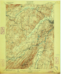
1906 edition
16.6 x 20 inches
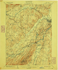
1908 edition
16.6 x 20.1 inches
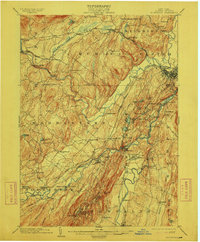
1912 edition
16.6 x 20 inches
1917 edition
16.6 x 20.1 inches
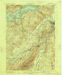
1924 edition
16.6 x 20.1 inches
1930 edition
24 x 19.9 inches
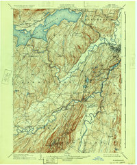
1933 edition
16.6 x 20 inches
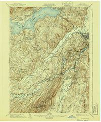
1940 edition
16.6 x 20.1 inches
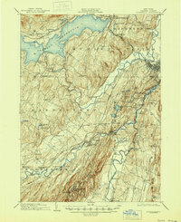
1945 edition
16.9 x 20.7 inches
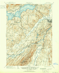
1951 edition
16.9 x 20.8 inches
Other maps of this area

1892 · Kaaterskill
USGS Topo · 1:62,500

1893 · Kaaterskill
USGS Topo · 1:62,500

1893 · Poughkeepsie
USGS Topo · 1:62,500

1894 · Kaaterskill
USGS Topo · 1:62,500

1894 · Poughkeepsie
USGS Topo · 1:62,500

1895 · Catskill
USGS Topo · 1:62,500

1898 · Rhinebeck
USGS Topo · 1:62,500

1899 · Kaaterskill
USGS Topo · 1:62,500

1900 · Phoenicia
USGS Topo · 1:62,500

1901 · Rosendale
USGS Topo · 1:62,500