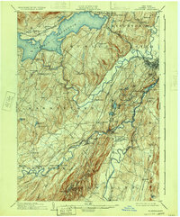
1903 Map of Rosendale
USGS Topo · Published 1933About this map
Ashokan Reservoir dominates the northern reaches of this Ulster County landscape, a massive engineering feat that reshaped the terrain and drowned former settlements along the Ulster and Delaware railroad line. The map captures the complex water and rail networks of the early 20th century, where the Esopus Creek and Rondout Creek converge toward the Hudson River valley. These waterways, historically vital for transport and industry, are paralleled by the New York Ontario and Western and the Delaware and Hudson canal and rail corridors.
Find a feature on this map
90 named features on this map. Tap any name to fly to it.
Don’t see what you’re looking for? This feature index may not catch every label — zoom into the map to look around manually.
Map Details
Editions of this 1903 Rosendale Map
11 editions found

1903 edition
16.6 x 20.1 inches
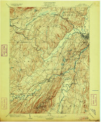
1906 edition
16.6 x 20 inches
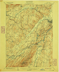
1908 edition
16.6 x 20.1 inches
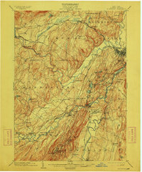
1912 edition
16.6 x 20 inches
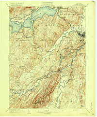
1917 edition
16.6 x 20.1 inches
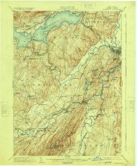
1924 edition
16.6 x 20.1 inches
1930 edition
24 x 19.9 inches
1933 edition
16.6 x 20 inches
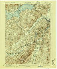
1940 edition
16.6 x 20.1 inches
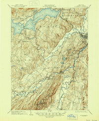
1945 edition
16.9 x 20.7 inches
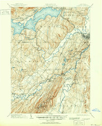
1951 edition
16.9 x 20.8 inches
Other maps of this area

1892 · Kaaterskill
USGS Topo · 1:62,500

1893 · Kaaterskill
USGS Topo · 1:62,500

1893 · Poughkeepsie
USGS Topo · 1:62,500

1894 · Kaaterskill
USGS Topo · 1:62,500

1894 · Poughkeepsie
USGS Topo · 1:62,500

1895 · Catskill
USGS Topo · 1:62,500

1898 · Rhinebeck
USGS Topo · 1:62,500

1899 · Kaaterskill
USGS Topo · 1:62,500

1900 · Phoenicia
USGS Topo · 1:62,500

1901 · Rosendale
USGS Topo · 1:62,500