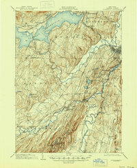
1903 Map of Rosendale
USGS Topo · Published 1945About this map
Ashokan Reservoir dominates the northern landscape of this Ulster County survey, a massive engineering feat that fundamentally altered the local geography. The map captures the region at a transitional moment when older settlements like Shokan and West Hurley were impacted by the reservoir's expansion. To the south, the industrial and transport corridor follows the winding path of Rondout Creek and the Esopus Creek, where communities like Rosendale and Eddyville thrived at the intersection of water and rail. The interior is a dense network of hamlets including Stone Ridge, Kripplebush, and Lomontville, many of which were connected by the New York Ontario and Western and the Ulster and Delaware railroads. This detailed record preserves the locations of early 20th-century life, from the mills at Eddyville to the prominent landmarks of Bonticou Crag and Skytop in the south.
Find a feature on this map
88 named features on this map. Tap any name to fly to it.
Don’t see what you’re looking for? This feature index may not catch every label — zoom into the map to look around manually.
Map Details
Editions of this 1903 Rosendale Map
11 editions found

1903 edition
16.6 x 20.1 inches
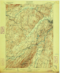
1906 edition
16.6 x 20 inches
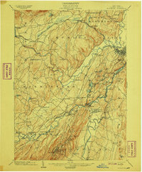
1908 edition
16.6 x 20.1 inches
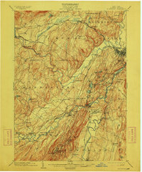
1912 edition
16.6 x 20 inches
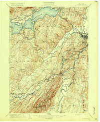
1917 edition
16.6 x 20.1 inches
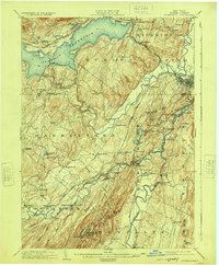
1924 edition
16.6 x 20.1 inches
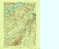
1930 edition
24 x 19.9 inches
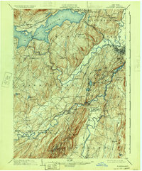
1933 edition
16.6 x 20 inches
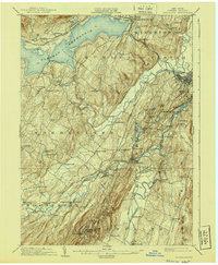
1940 edition
16.6 x 20.1 inches
1945 edition
16.9 x 20.7 inches
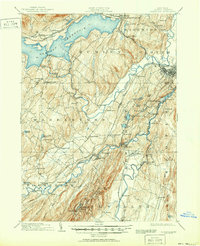
1951 edition
16.9 x 20.8 inches
Other maps of this area

1892 · Kaaterskill
USGS Topo · 1:62,500

1893 · Kaaterskill
USGS Topo · 1:62,500

1893 · Poughkeepsie
USGS Topo · 1:62,500

1894 · Kaaterskill
USGS Topo · 1:62,500

1894 · Poughkeepsie
USGS Topo · 1:62,500

1895 · Catskill
USGS Topo · 1:62,500

1898 · Rhinebeck
USGS Topo · 1:62,500

1899 · Kaaterskill
USGS Topo · 1:62,500

1900 · Phoenicia
USGS Topo · 1:62,500

1901 · Rosendale
USGS Topo · 1:62,500