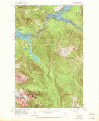
1963 Map of Ross Dam
USGS Topo · Published 1972About this map
The hydroelectric and recreational landscape of the upper Skagit River is defined by the massive impoundments of Ross Lake and Diablo Lake. Following field checks in the early 1960s, this survey documents the infrastructure of Ross Dam and the adjacent Ross Lake Guard Station during a period of transition as the area moved toward formal park status. The map illustrates the complex interaction between engineering and wilderness, showing the Diablo Lake Resort nestled near the spillway elevation of 1205 feet, while steep slopes lead to high-altitude landmarks like the Sourdough Lookout. Interior access is primarily represented by historical routes such as the Thunder Creek Trail and the Sourdough Lookout Trail. The terrain features notable glacial remnants like the Neve Glacier and hydrological curiosities such as the Panther Potholes, marking the divide between Whatcom Co and Skagit Co in the heart of the North Cascades National Park.
Find a feature on this map
40 named features on this map. Tap any name to fly to it.
Don’t see what you’re looking for? This feature index may not catch every label — zoom into the map to look around manually.
Map Details
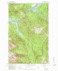
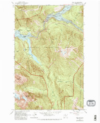
Editions of this 1963 Ross Dam Map
4 editions found
Other maps of this area

1920 · Slate Pass
USGS Topo · 1:125,000

1955 · Concrete
USGS Topo · 1:250,000

1958 · Concrete
USGS Topo · 1:250,000

1962 · Concrete
USGS Topo · 1:250,000

1963 · Eldorado Peak
USGS Topo · 1:24,000
1963 · Forbidden Peak
USGS Topo · 1:24,000
1963 · Mt Logan
USGS Topo · 1:24,000

1963 · Crater Mountain
USGS Topo · 1:24,000

1963 · Diablo Dam
USGS Topo · 1:24,000

1963 · Ross Dam
USGS Topo · 1:24,000