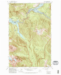
1963 Map of Ross Dam
USGS Topo · Published 1982About this map
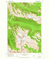
Ross Dam serves as the focal point of this northern Washington landscape, holding back the waters of Ross Lake where it meets the Skagit River. This 1963 field-checked survey illustrates a complex hydraulic and recreational network at the intersection of North Cascades National Park and the Ross Lake National Recreation Area. Near the dam, the Powerhouse and Ross Lake Guard Station represent the administrative and industrial presence in the canyon, while Diablo Lake Resort and Buster Brown Flats indicate the established visitor footprint along Diablo Lake. High-altitude features like the Sourdough Lookout and Neve Glacier contrast with the deep-water arms of the reservoirs. The map documents an intricate trail system, including the Happy Creek Trail and Thunder Creek Trail, which navigate the steep drainages of Horsefly Creek and Lillian Creek toward remote landmarks like the John Pierce Waterfall.
Find a feature on this map
48 named features on this map. Tap any name to fly to it.
Don’t see what you’re looking for? This feature index may not catch every label — zoom into the map to look around manually.
Map Details
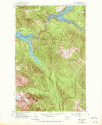
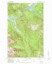
Editions of this 1963 Ross Dam Map
4 editions found
Other maps of this area

1920 · Slate Pass
USGS Topo · 1:125,000

1955 · Concrete
USGS Topo · 1:250,000

1958 · Concrete
USGS Topo · 1:250,000

1962 · Concrete
USGS Topo · 1:250,000

1963 · Eldorado Peak
USGS Topo · 1:24,000
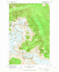
1963 · Forbidden Peak
USGS Topo · 1:24,000
1963 · Mt Logan
USGS Topo · 1:24,000

1963 · Crater Mountain
USGS Topo · 1:24,000

1963 · Diablo Dam
USGS Topo · 1:24,000

1963 · Ross Dam
USGS Topo · 1:24,000