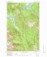
1963 Map of Ross Dam
USGS Topo · Published 1982About this map
Ross Dam serves as the focal point of this Skagit River landscape, where industrial infrastructure meets the protected wilderness of North Cascades National Park and the Ross Lake National Recreation Area. The hydro-electric complex is documented through the powerhouse and gaging stations along the river, while the local hospitality of the era is represented by the Diablo Lake Resort. A network of historic pack trails, including the Pack Trail and Jack Mtn Trail, provide access to the high-elevation terrain near Colonial Peak and the Neve Glacier. This 1963 survey captures the area during a period of infrastructure expansion, specifically noting the road section under construction near the Ruby Arm. Natural landmarks like the John Pierce Waterfall and the Panther Potholes highlight the unique geological features surrounding the massive reservoir.
Find a feature on this map
46 named features on this map. Tap any name to fly to it.
Don’t see what you’re looking for? This feature index may not catch every label — zoom into the map to look around manually.
Map Details
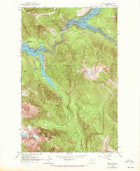
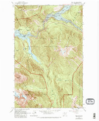
Editions of this 1963 Ross Dam Map
4 editions found
Other maps of this area

1920 · Slate Pass
USGS Topo · 1:125,000

1955 · Concrete
USGS Topo · 1:250,000

1958 · Concrete
USGS Topo · 1:250,000

1962 · Concrete
USGS Topo · 1:250,000

1963 · Eldorado Peak
USGS Topo · 1:24,000
1963 · Forbidden Peak
USGS Topo · 1:24,000
1963 · Mt Logan
USGS Topo · 1:24,000

1963 · Crater Mountain
USGS Topo · 1:24,000

1963 · Diablo Dam
USGS Topo · 1:24,000

1963 · Ross Dam
USGS Topo · 1:24,000