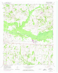
1965 Map of Rossville
USGS Topo · Published 1974About this map
The Wolf River winds across this Fayette County landscape, anchoring a rural territory centered on the rail-side commerce of Rossville and the nearby Rossville Junction. The mid-1960s environment is characterized by a dense network of country schools and churches that served as community pillars, including the Philadelphia Ch and several academic sites such as Stinson Sch and the Hebrew Sch.
Find a feature on this map
44 named features on this map. Tap any name to fly to it.
Don’t see what you’re looking for? This feature index may not catch every label — zoom into the map to look around manually.
Map Details
Editions of this 1965 Rossville Map
3 editions found
Other maps of this area

1943 · Collierville
USGS Topo · 1:62,500

1948 · Byhalia
USGS Topo · 1:62,500

1949 · Moscow
USGS Topo · 1:62,500

1953 · Holly Springs
USGS Topo · 1:62,500

1953 · Collierville
USGS Topo · 1:50,000

1956 · Blytheville
USGS Topo · 1:250,000

1956 · Tupelo
USGS Topo · 1:250,000

1958 · Tupelo
USGS Topo · 1:250,000

1959 · Blytheville
USGS Topo · 1:250,000

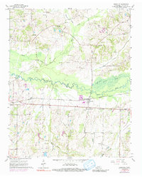
1965 · Rossville
USGS Topo · 1:24,000