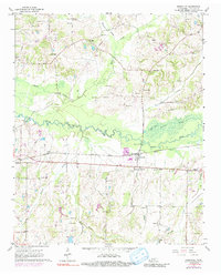
1965 Map of Rossville
USGS Topo · Published 1991About this map
The Wolf River and its meandering tributaries, including Shaws Creek and Hurricane Creek, define the landscape of this Fayette County region. The community of Rossville serves as a central hub, situated where the Southern railroad line meets the river valley. Further west, Piperton sits along the rail corridor, while small, dispersed settlements like Elba and Kirk appear in the northern reaches of the quadrangle.
Find a feature on this map
44 named features on this map. Tap any name to fly to it.
Don’t see what you’re looking for? This feature index may not catch every label — zoom into the map to look around manually.
Map Details
Editions of this 1965 Rossville Map
3 editions found
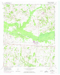
Other maps of this area

1943 · Collierville
USGS Topo · 1:62,500

1948 · Byhalia
USGS Topo · 1:62,500

1949 · Moscow
USGS Topo · 1:62,500

1953 · Holly Springs
USGS Topo · 1:62,500

1953 · Collierville
USGS Topo · 1:50,000

1956 · Blytheville
USGS Topo · 1:250,000

1956 · Tupelo
USGS Topo · 1:250,000

1958 · Tupelo
USGS Topo · 1:250,000

1959 · Blytheville
USGS Topo · 1:250,000

1965 · Rossville
USGS Topo · 1:24,000