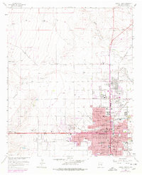
1962 Map of Roswell North
USGS Topo · Published 1977About this map
Roswell is depicted during a period of significant mid-century expansion, with urban development pushing north across Berrendo Creek toward the New Mexico Military Institute. The map captures a transition in local infrastructure, notably marking an Abandoned Airport and the complex rail operations of the Atchison Topeka and Santa Fe railroad through the city center.
Find a feature on this map
105 named features on this map. Tap any name to fly to it.
Don’t see what you’re looking for? This feature index may not catch every label — zoom into the map to look around manually.
Map Details
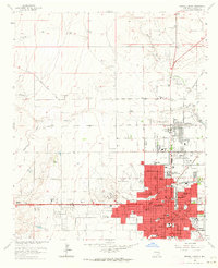
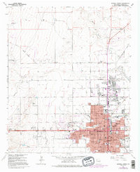
Editions of this 1962 Roswell North Map
3 editions found
Other maps of this area

1949 · Hondo Reservoir
USGS Topo · 1:24,000

1949 · Roswell North
USGS Topo · 1:24,000

1949 · Roswell South
USGS Topo · 1:24,000

1949 · Corn Ranch
USGS Topo · 1:24,000

1950 · Corn Ranch
USGS Topo · 1:24,000

1950 · South Spring
USGS Topo · 1:24,000

1950 · Bitter Lake
USGS Topo · 1:24,000

1955 · Roswell
USGS Topo · 1:250,000

1958 · Roswell
USGS Topo · 1:250,000

1962 · Roswell
USGS Topo · 1:250,000