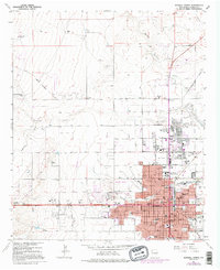
1962 Map of Roswell North
USGS Topo · Published 1995About this map
The city of Roswell serves as the focal point of this Chaves County survey, where urban expansion meets the expansive ranchlands of the Pecos Valley. The map captures a moment of transition in the mid-20th century, with purple-tinted revisions showing residential growth pushing north into the historical precinct of Military Heights. The prominent campus of the New Mexico Military Institute anchors the central district, surrounded by neighborhood institutions like St Marys Hospital and St Marys church.
Find a feature on this map
79 named features on this map. Tap any name to fly to it.
Don’t see what you’re looking for? This feature index may not catch every label — zoom into the map to look around manually.
Map Details
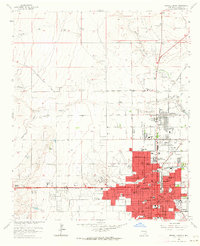
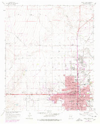
Editions of this 1962 Roswell North Map
3 editions found
Other maps of this area

1949 · Hondo Reservoir
USGS Topo · 1:24,000

1949 · Roswell North
USGS Topo · 1:24,000

1949 · Roswell South
USGS Topo · 1:24,000

1949 · Corn Ranch
USGS Topo · 1:24,000

1950 · Corn Ranch
USGS Topo · 1:24,000

1950 · South Spring
USGS Topo · 1:24,000

1950 · Bitter Lake
USGS Topo · 1:24,000

1955 · Roswell
USGS Topo · 1:250,000

1958 · Roswell
USGS Topo · 1:250,000

1962 · Roswell
USGS Topo · 1:250,000