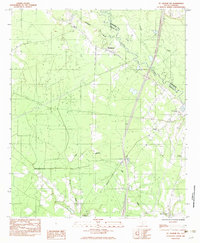
2024 Map of Round O
USGS Topo · Published 2024About this map
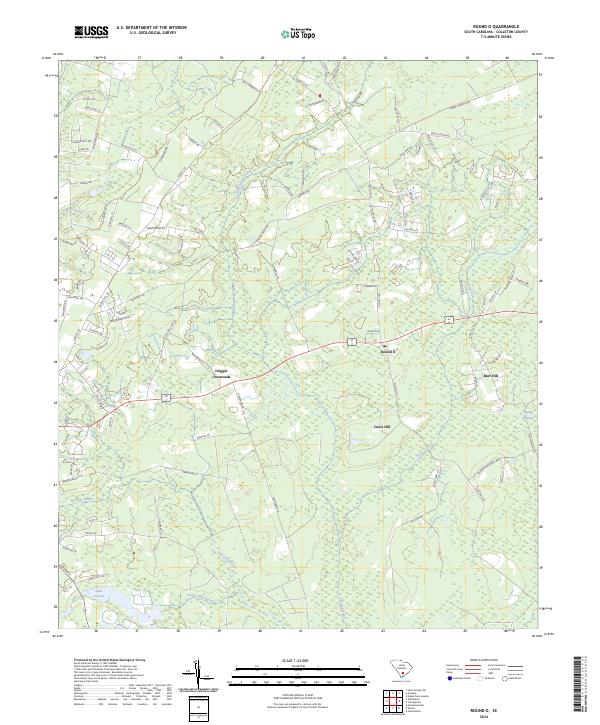
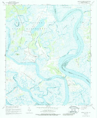
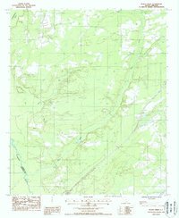
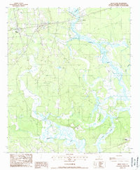
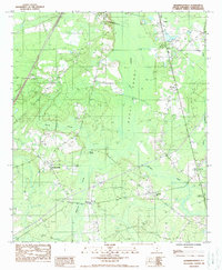
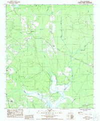
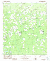
Round O serves as a central point in this part of Colleton County, situated among a landscape defined by an intricate network of waterways and low-lying wetlands. The topography is dominated by the meandering courses of Skull Swamp Creek, Fuller Swamp Creek, and Chessey Creek, which drain toward the south. Small settlements and named locales like Drigger Crossroads, Davis Hill, and Burr Hill are connected by a web of local roads, reflecting a pattern of rural habitation that persists into the 21st century.
Find a feature on this map
91 named features on this map. Tap any name to fly to it.
Don’t see what you’re looking for? This feature index may not catch every label — zoom into the map to look around manually.
Map Details
Editions of this 2024 Round O Map
This is the sole edition of this map. No revisions or reprints were ever made.
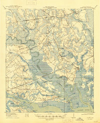
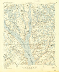
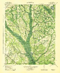
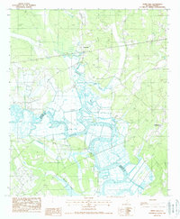
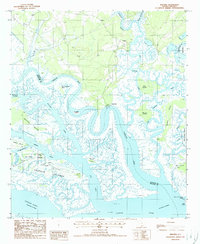
Historical Maps of Drigger Crossroads Through Time
26 maps found
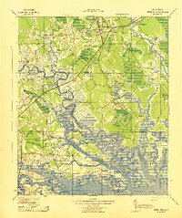
1918 Green Pond
Colleton County, SC
1919 Cummings
Colleton County, SC
1943 Cummings
Colleton County, SC
1943 Green Pond
Colleton County, SC
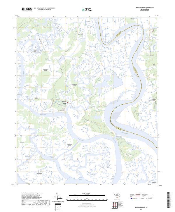
1960 Bennetts Point
Colleton County, SC
1960 Fenwick
Colleton County, SC
1982 St. George SW
Colleton County, SC
1988 Black Creek
Colleton County, SC
1988 Green Pond
Colleton County, SC
1988 Hendersonville
Colleton County, SC
1988 Neyles
Colleton County, SC
1988 Round O
Colleton County, SC

1988 Sniders Crossroads
Colleton County, SC
1988 White Hall
Colleton County, SC
1988 Wiggins
Colleton County, SC
2024 Bennetts Point
Colleton County, SC
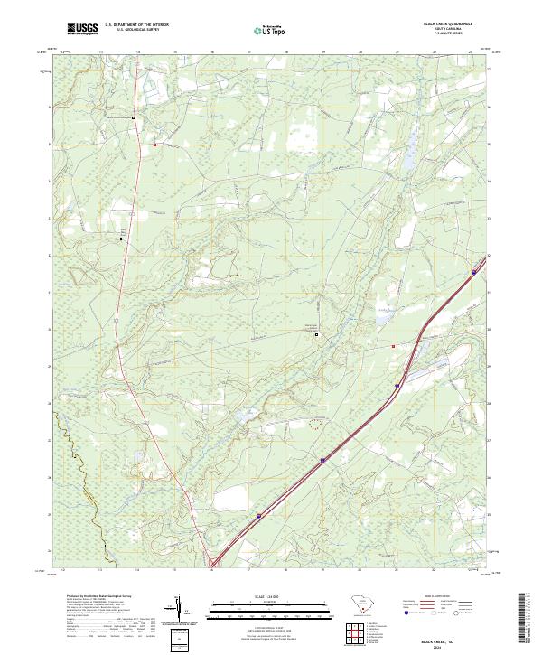
2024 Black Creek
Colleton County, SC
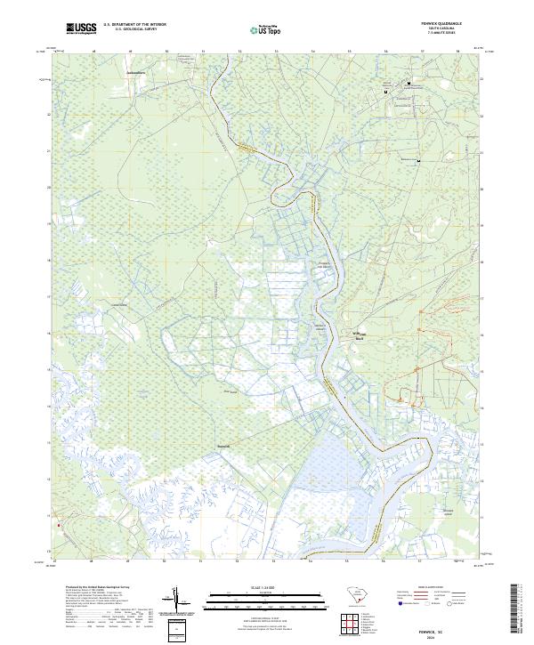
2024 Fenwick
Colleton County, SC
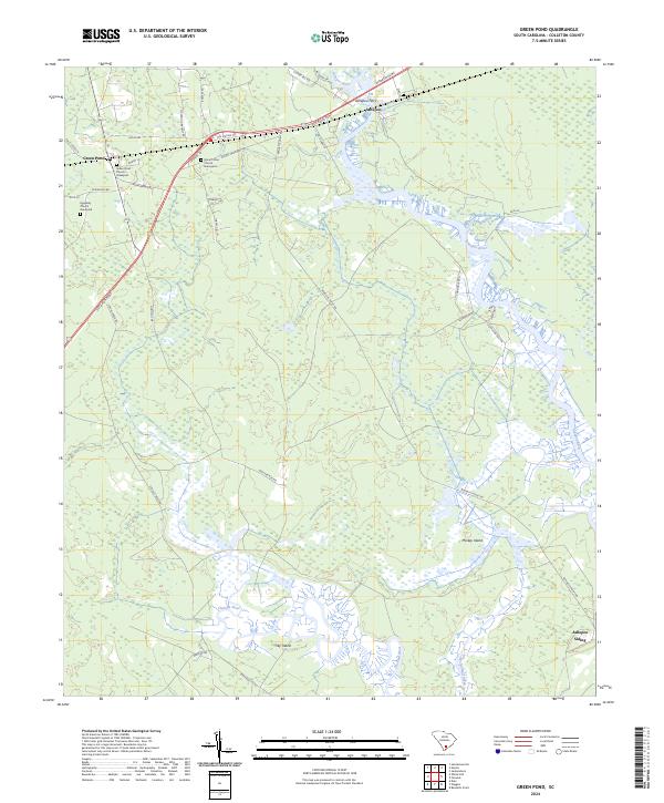
2024 Green Pond
Colleton County, SC
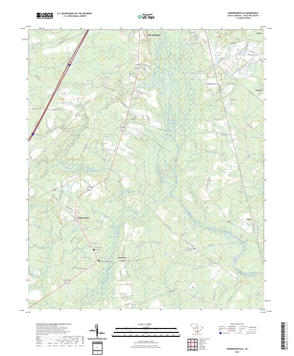
2024 Hendersonville
Colleton County, SC
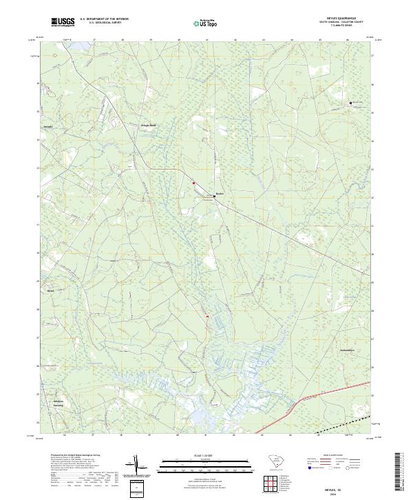
2024 Neyles
Colleton County, SC
2024 Round O
Colleton County, SC
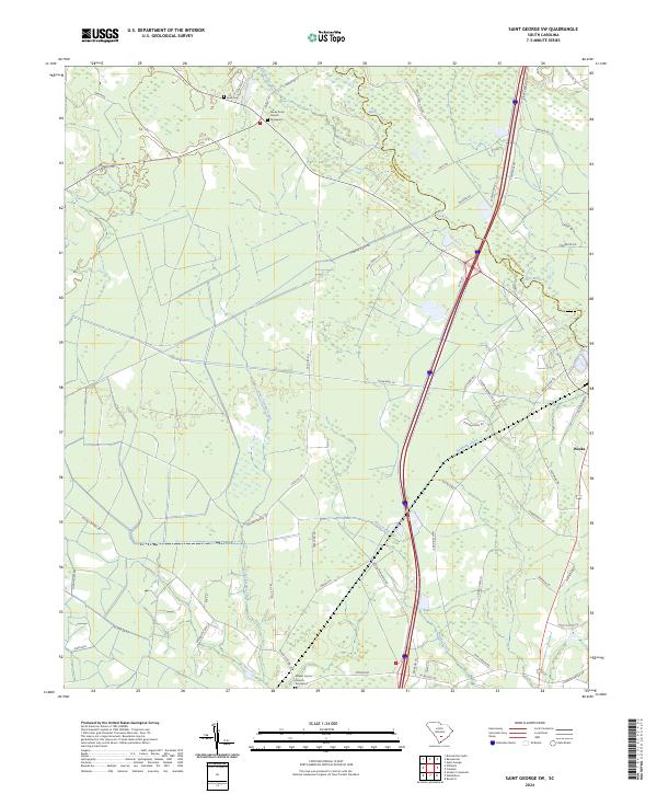
2024 Saint George SW
Colleton County, SC
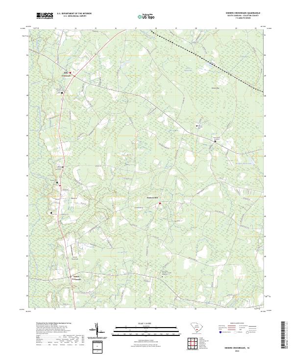
2024 Sniders Crossroads
Colleton County, SC
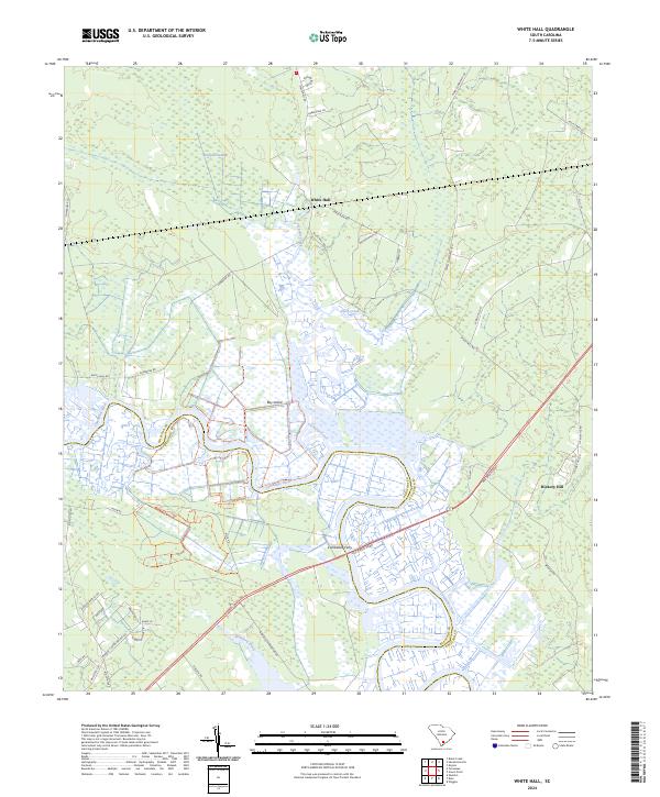
2024 White Hall
Colleton County, SC
2024 Wiggins
Colleton County, SC