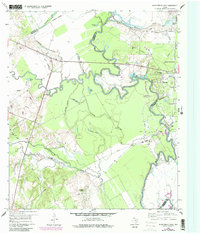
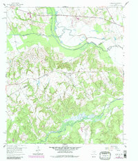
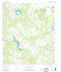
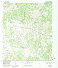
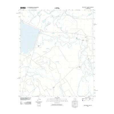
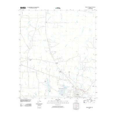
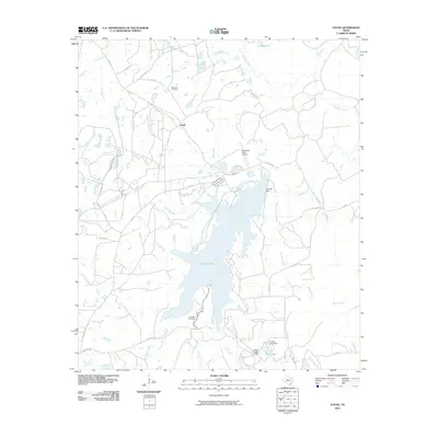
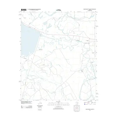
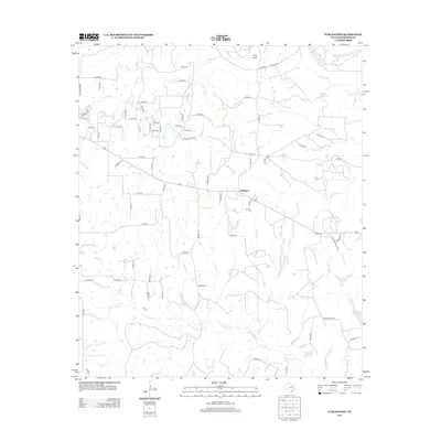
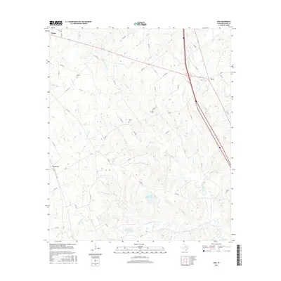
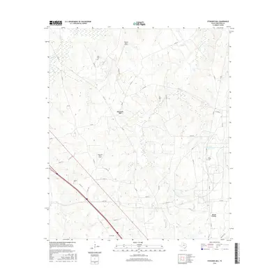
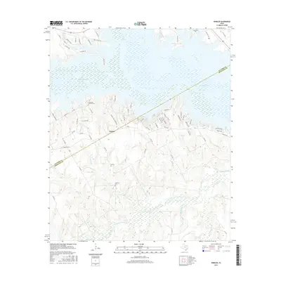
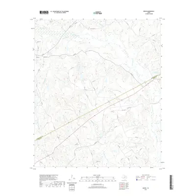
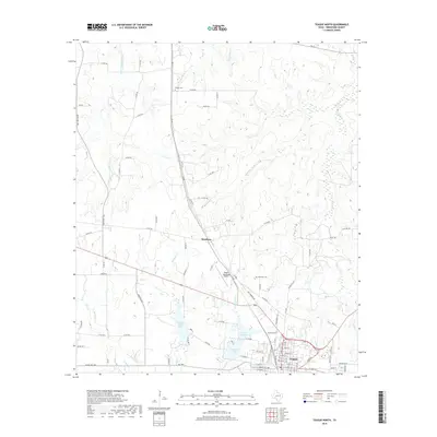
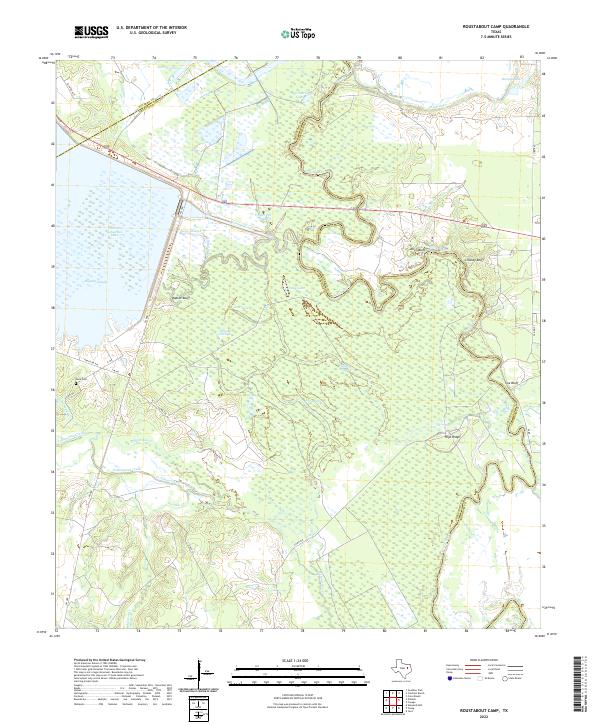
1960 Map of Roustabout Camp
USGS Topo · Published 1984About this map
Industrial activity and river bottom dynamics define this 1960 landscape where the Trinity River and Richland Creek converge. The presence of Roustabout Camp, Big Camp, and Amerada Camp reflects the region’s petroleum history, with these specialized settlements situated near the sprawling river bends and active sludge pits. In the bottomlands, complex drainage patterns are marked by numerous oxbow remnants and wetlands such as Enloe Slough, Snag Lake, and Long Lake. The terrain rises toward the south and west at Walker Bluff and Allen Bluff, overlooking the low-lying Tehuacana Creek basin. Local social life is anchored by Harp Ch in the west, while specialized land use is evident at the Fish Hatcheries near the river. This survey captures a specific era of resource extraction and flood-plain geography before modern topographical shifts altered the character of these Freestone and Anderson County borderlands.
Find a feature on this map
36 named features on this map. Tap any name to fly to it.
Don’t see what you’re looking for? This feature index may not catch every label — zoom into the map to look around manually.
Map Details
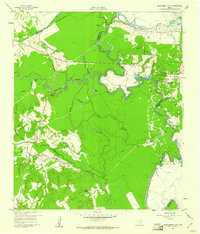
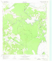
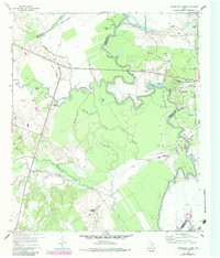
Editions of this 1960 Roustabout Camp Map
4 editions found
Historical Maps of Anderson County Through Time
66 maps found
1960 Roustabout Camp
Freestone County, TX
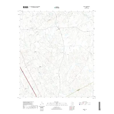
1960 Winkler
Freestone County, TX
1961 Young
Freestone County, TX
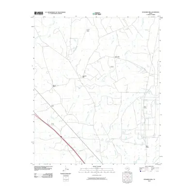
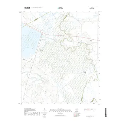
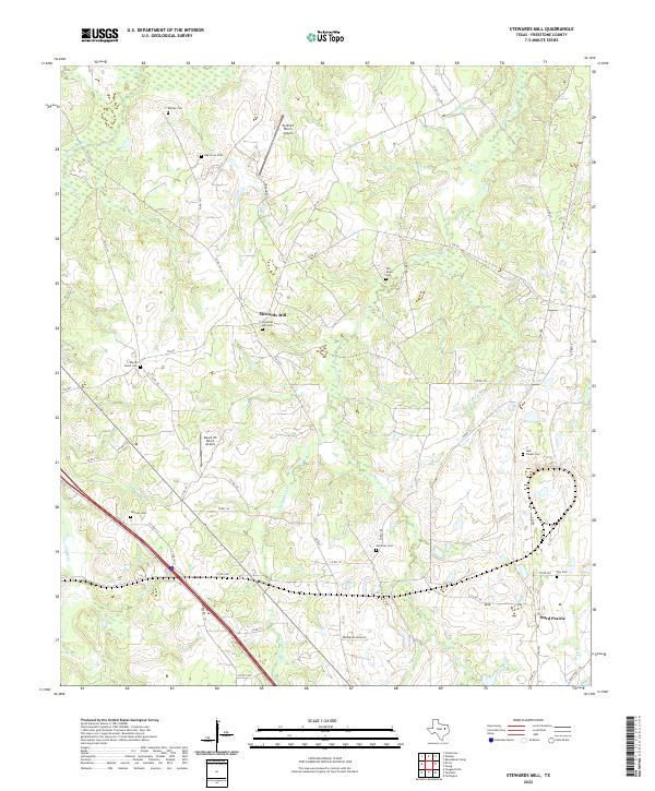
1963 Stewards Mill
Freestone County, TX
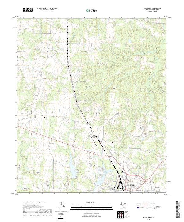
1963 Teague North
Freestone County, TX
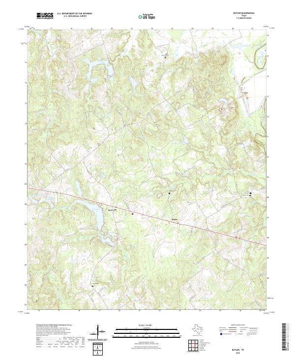
1964 Butler
Freestone County, TX
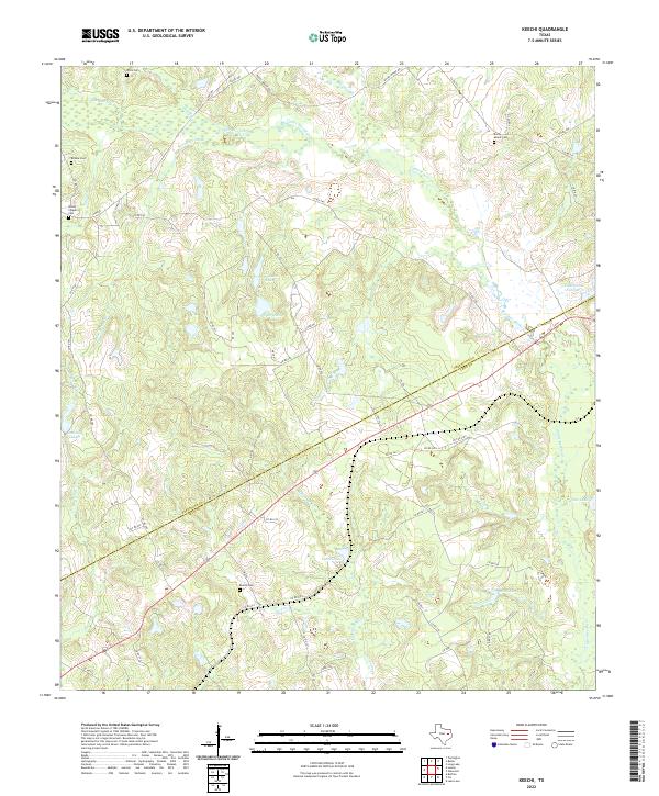
1964 Keechi
Freestone County, TX
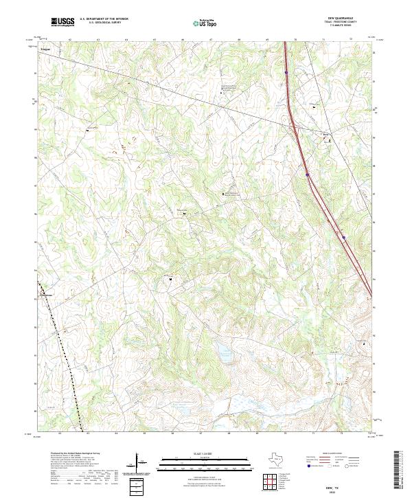
1965 Dew
Freestone County, TX
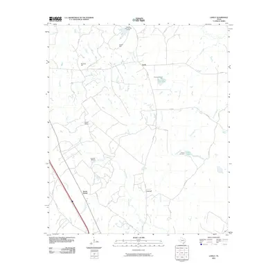
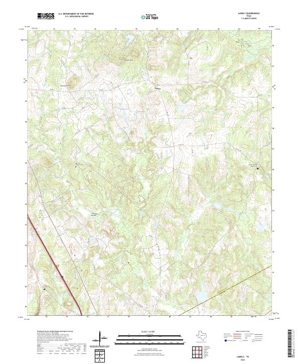
1965 Lanely
Freestone County, TX
1965 Turlington
Freestone County, TX
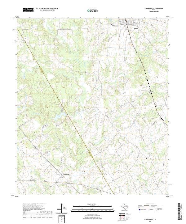
1966 Teague South
Freestone County, TX
2010 Butler
Freestone County, TX
2010 Dew
Freestone County, TX
2010 Keechi
Freestone County, TX
2010 Lanely
Freestone County, TX
2010 Roustabout Camp
Freestone County, TX
2010 Stewards Mill
Freestone County, TX
2010 Teague North
Freestone County, TX
2010 Teague South
Freestone County, TX
2010 Turlington
Freestone County, TX
2010 Winkler
Freestone County, TX
2010 Young
Freestone County, TX
2013 Butler
Freestone County, TX
2013 Dew
Freestone County, TX
2013 Keechi
Freestone County, TX

2013 Lanely
Freestone County, TX
2013 Roustabout Camp
Freestone County, TX
2013 Stewards Mill
Freestone County, TX
2013 Teague North
Freestone County, TX
2013 Teague South
Freestone County, TX
2013 Turlington
Freestone County, TX
2013 Winkler
Freestone County, TX
2013 Young
Freestone County, TX
2016 Butler
Freestone County, TX
2016 Dew
Freestone County, TX
2016 Keechi
Freestone County, TX
2016 Lanely
Freestone County, TX
2016 Roustabout Camp
Freestone County, TX
2016 Stewards Mill
Freestone County, TX
2016 Teague North
Freestone County, TX
2016 Teague South
Freestone County, TX
2016 Turlington
Freestone County, TX
2016 Winkler
Freestone County, TX
2016 Young
Freestone County, TX
2019 Butler
Freestone County, TX
2019 Dew
Freestone County, TX
2019 Keechi
Freestone County, TX
2019 Lanely
Freestone County, TX
2019 Roustabout Camp
Freestone County, TX
2019 Stewards Mill
Freestone County, TX
2019 Teague North
Freestone County, TX

2019 Teague South
Freestone County, TX
2019 Turlington
Freestone County, TX
2019 Winkler
Freestone County, TX
2019 Young
Freestone County, TX
2022 Butler
Freestone County, TX
2022 Dew
Freestone County, TX
2022 Keechi
Freestone County, TX
2022 Lanely
Freestone County, TX
2022 Roustabout Camp
Freestone County, TX
2022 Stewards Mill
Freestone County, TX
2022 Teague North
Freestone County, TX
2022 Teague South
Freestone County, TX
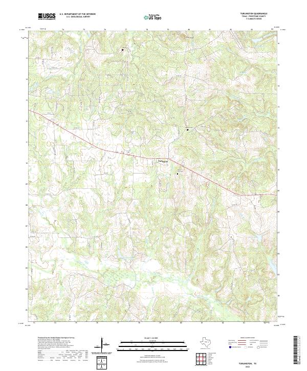
2022 Turlington
Freestone County, TX
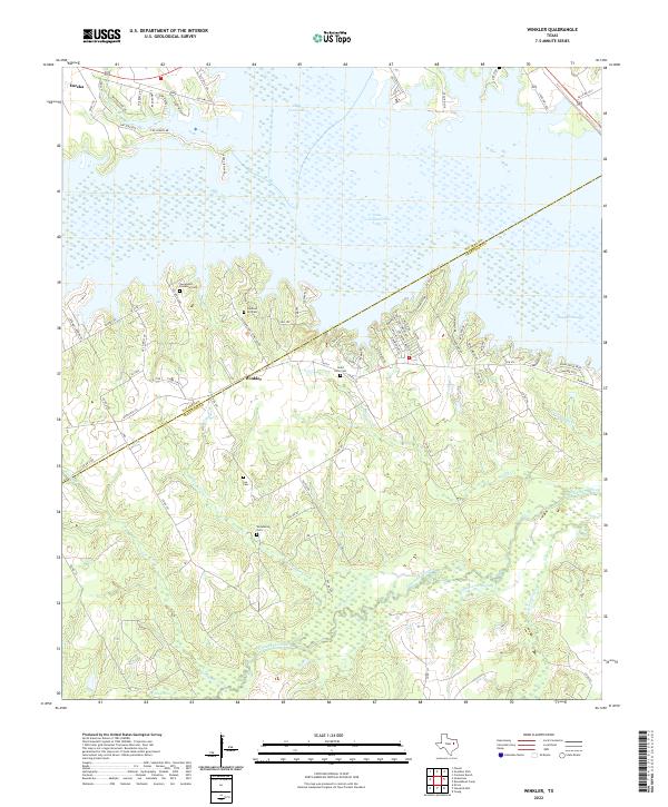
2022 Winkler
Freestone County, TX
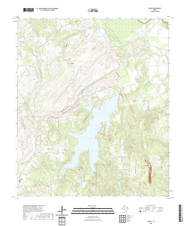
2022 Young
Freestone County, TX