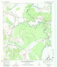
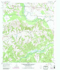
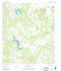
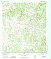
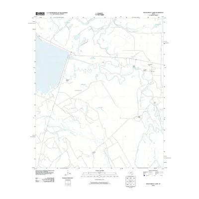
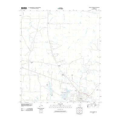
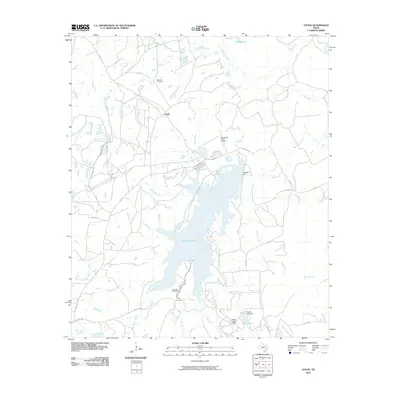
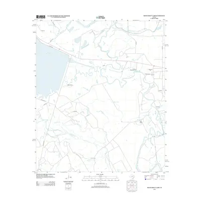
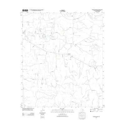
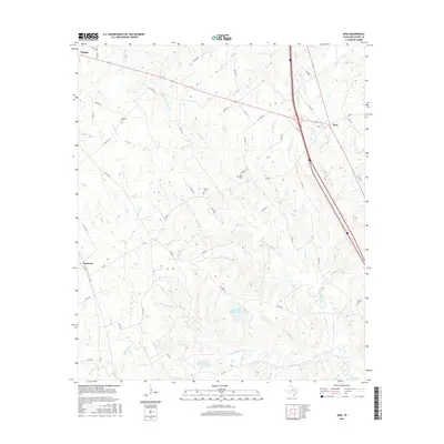
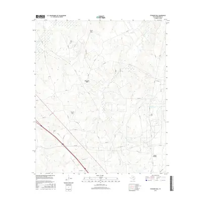
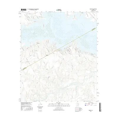
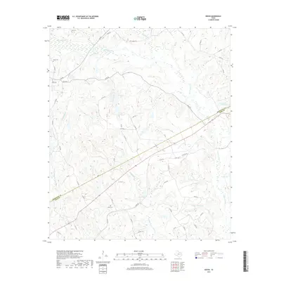
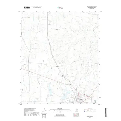
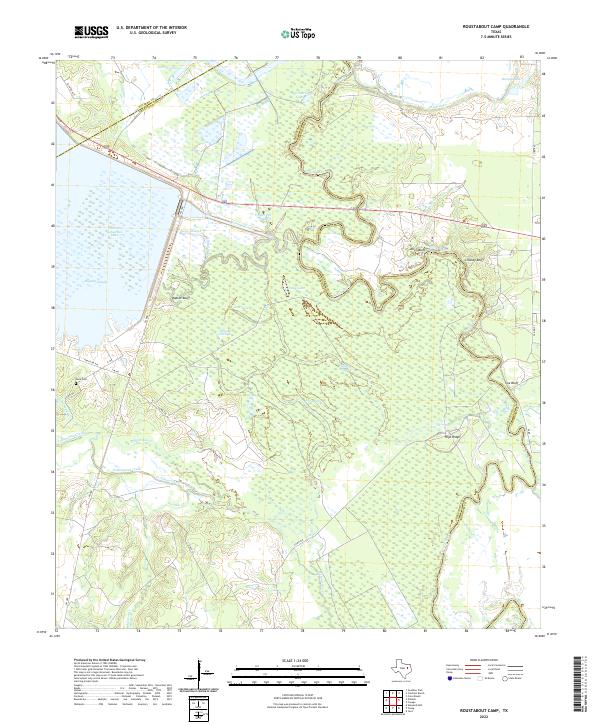
1960 Map of Roustabout Camp
USGS Topo · Published 1984About this map
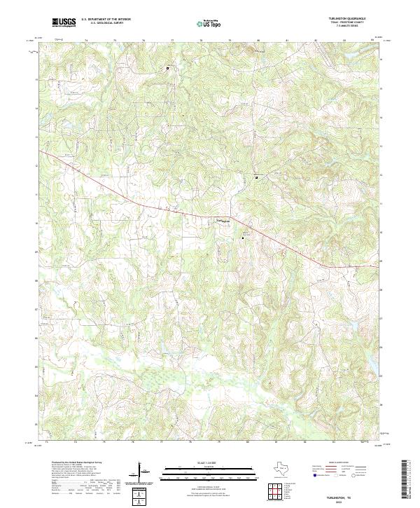
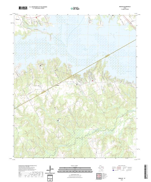
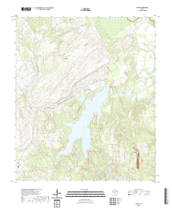
The Trinity River snakes through a landscape defined by its shifting hydrology and industrial camps along the borders of Navarro, Freestone, and Anderson Counties. Named work settlements like Roustabout Camp, Big Camp, and Amerada Camp indicate the petroleum-driven economy of the mid-20th century, supported by a network of pipelines and service roads. The river’s ancient floodplain is a complex of backwaters and seasonal wetlands, including Yonker Slough, Enloe Slough, and Hillside Slough, alongside oxbow remnants such as Snag Lake and Long Lake. This map captures the intersection of industrial development and river bottomlands before modern land-use changes. Local history is anchored by landmarks such as Harp Ch and the prominent river overlooks at Walker Bluff and Cox Bluff. Numerous Sludge Pits and Gravel Pits are scattered near the river, marking the footprint of extraction and infrastructure projects in the post-war era.
Find a feature on this map
38 named features on this map. Tap any name to fly to it.
Don’t see what you’re looking for? This feature index may not catch every label — zoom into the map to look around manually.
Map Details
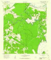
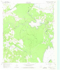
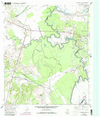
Editions of this 1960 Roustabout Camp Map
4 editions found
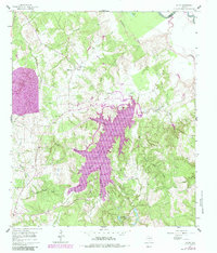
Historical Maps of Anderson County Through Time
66 maps found
1960 Roustabout Camp
Freestone County, TX
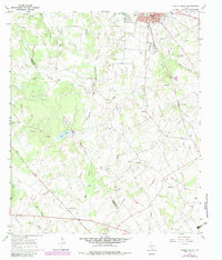
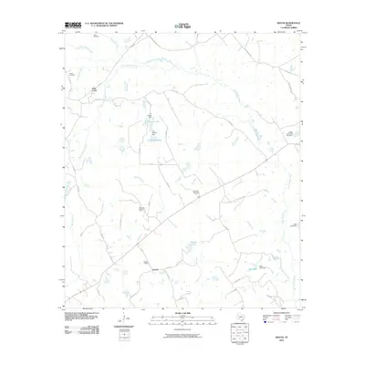
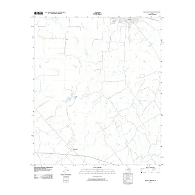
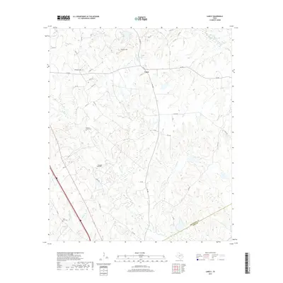
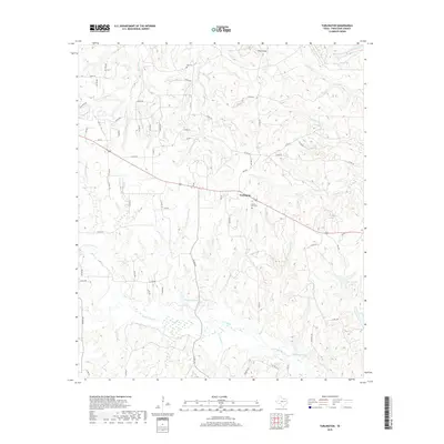
1960 Winkler
Freestone County, TX
1961 Young
Freestone County, TX
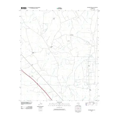
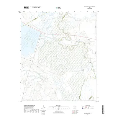
1963 Stewards Mill
Freestone County, TX
1963 Teague North
Freestone County, TX
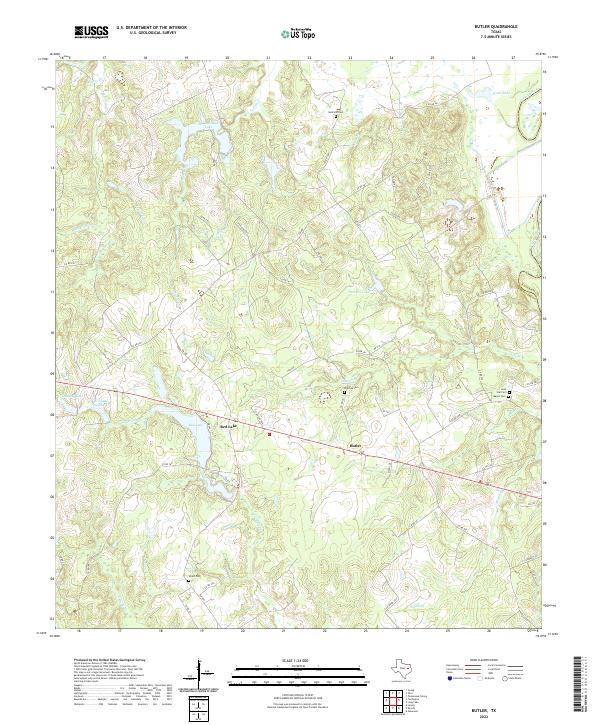
1964 Butler
Freestone County, TX
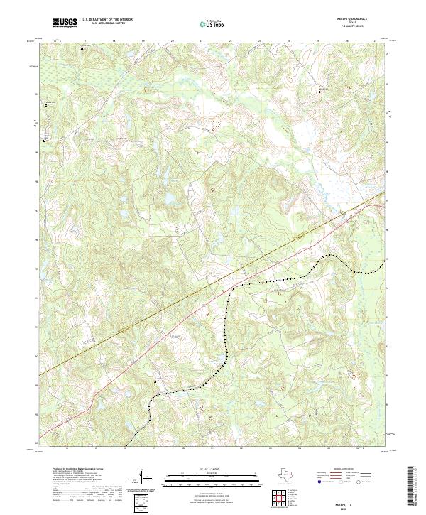
1964 Keechi
Freestone County, TX
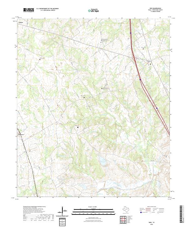
1965 Dew
Freestone County, TX
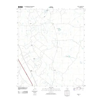
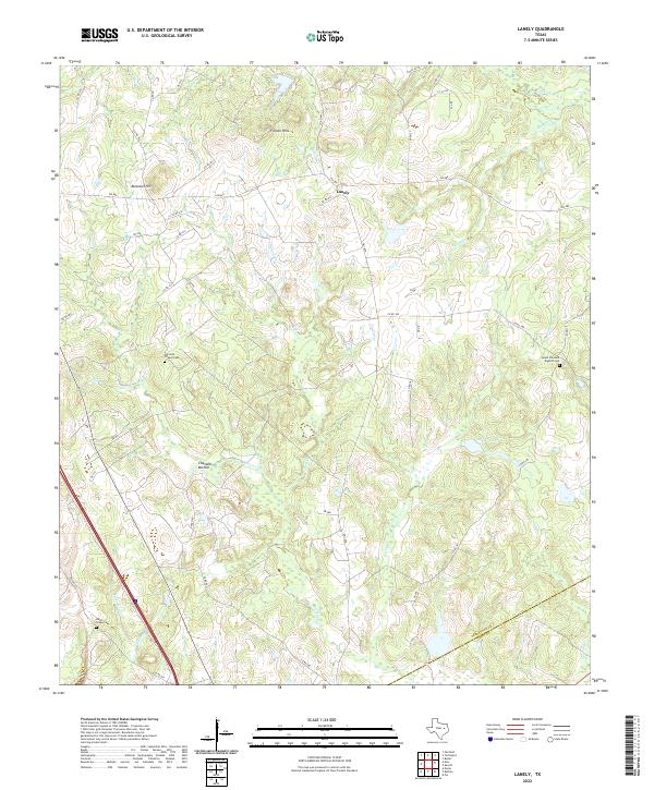
1965 Lanely
Freestone County, TX
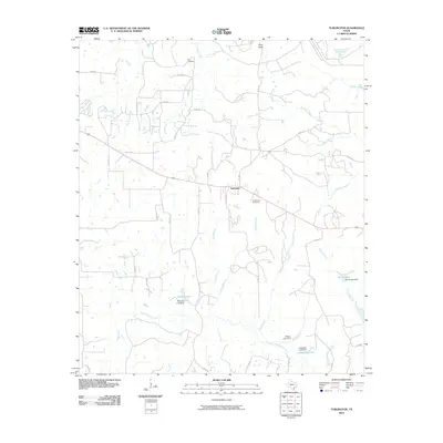
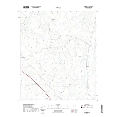
1965 Turlington
Freestone County, TX
1966 Teague South
Freestone County, TX
2010 Butler
Freestone County, TX
2010 Dew
Freestone County, TX
2010 Keechi
Freestone County, TX
2010 Lanely
Freestone County, TX
2010 Roustabout Camp
Freestone County, TX
2010 Stewards Mill
Freestone County, TX
2010 Teague North
Freestone County, TX
2010 Teague South
Freestone County, TX
2010 Turlington
Freestone County, TX
2010 Winkler
Freestone County, TX
2010 Young
Freestone County, TX
2013 Butler
Freestone County, TX
2013 Dew
Freestone County, TX
2013 Keechi
Freestone County, TX

2013 Lanely
Freestone County, TX
2013 Roustabout Camp
Freestone County, TX
2013 Stewards Mill
Freestone County, TX
2013 Teague North
Freestone County, TX
2013 Teague South
Freestone County, TX
2013 Turlington
Freestone County, TX
2013 Winkler
Freestone County, TX
2013 Young
Freestone County, TX
2016 Butler
Freestone County, TX
2016 Dew
Freestone County, TX
2016 Keechi
Freestone County, TX
2016 Lanely
Freestone County, TX
2016 Roustabout Camp
Freestone County, TX
2016 Stewards Mill
Freestone County, TX
2016 Teague North
Freestone County, TX
2016 Teague South
Freestone County, TX
2016 Turlington
Freestone County, TX
2016 Winkler
Freestone County, TX
2016 Young
Freestone County, TX
2019 Butler
Freestone County, TX
2019 Dew
Freestone County, TX
2019 Keechi
Freestone County, TX
2019 Lanely
Freestone County, TX
2019 Roustabout Camp
Freestone County, TX
2019 Stewards Mill
Freestone County, TX
2019 Teague North
Freestone County, TX

2019 Teague South
Freestone County, TX
2019 Turlington
Freestone County, TX
2019 Winkler
Freestone County, TX
2019 Young
Freestone County, TX
2022 Butler
Freestone County, TX
2022 Dew
Freestone County, TX
2022 Keechi
Freestone County, TX
2022 Lanely
Freestone County, TX
2022 Roustabout Camp
Freestone County, TX
2022 Stewards Mill
Freestone County, TX
2022 Teague North
Freestone County, TX
2022 Teague South
Freestone County, TX
2022 Turlington
Freestone County, TX
2022 Winkler
Freestone County, TX
2022 Young
Freestone County, TX