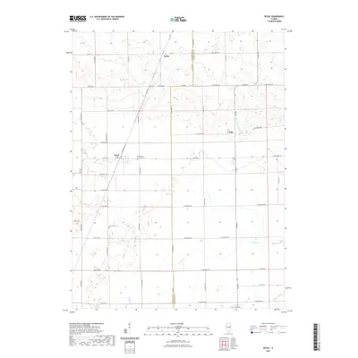
2021 Map of Royal
USGS Topo · Published 2021About this map
The agricultural plains of East Central Illinois are defined here by a precise grid of country roads and small, historic communities along the boundary of Champaign and Vermilion counties. The small settlement of Dailey sits in the northern section, while the community of Hope lies further east, connected by a network of rural routes such as Co Rd 2400 N. The landscape is etched by the meandering courses of Stony Cr and Buck Cr, which break the geometric pattern of the surrounding farmland. Genealogy and local history are anchored by sites such as Saint John Lutheran Cem and Stearns Cem, which preserve the names of early resident families. The presence of Railroad St provides a spatial reminder of the rail-centered development that originally established these prairie towns during the peak of the region's agricultural expansion.
Find a feature on this map
47 named features on this map. Tap any name to fly to it.
Don’t see what you’re looking for? This feature index may not catch every label — zoom into the map to look around manually.
Map Details
Editions of this 2021 Royal Map
This is the sole edition of this map. No revisions or reprints were ever made.
Other maps of this area

1906 · Urbana
USGS Topo · 1:62,500

1924 · Paxton
USGS Topo · 1:62,500

1927 · Paxton
USGS Topo · 1:62,500

1931 · Fithian
USGS Topo · 1:48,000

1936 · Potomac
USGS Topo · 1:62,500

1943 · Fithian
USGS Topo · 1:62,500

1949 · Paxton
USGS Topo · 1:62,500

1953 · Danville
USGS Topo · 1:250,000

1955 · Danville
USGS Topo · 1:250,000

1956 · Danville
USGS Topo · 1:250,000