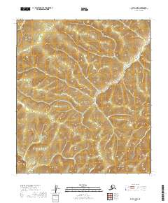
2019 Map of Ruby A-6 NW
USGS Topo · Published 2019About this map
Twin Buttes rises as a prominent landmark in this interior Alaskan landscape, serving as a primary navigational point amidst a dense network of drainages. The S Fork Sulatna River snakes across the northern sections, while the southern reaches are defined by the headwaters of Gold Run and Camp Cr. This area is heavily influenced by its topographical relief, with the Deer Cr and Wilson Cr systems carving distinct valleys between ridges. The map illustrates a region structured by the Public Land Survey System, showing the intersections of numerous townships including t15s r15e and t15s r16e, which delineate the remote wilderness during the early twenty-first century.
Find a feature on this map
13 named features on this map. Tap any name to fly to it.
Don’t see what you’re looking for? This feature index may not catch every label — zoom into the map to look around manually.
Map Details
Editions of this 2019 Ruby A-6 NW Map
This is the sole edition of this map. No revisions or reprints were ever made.
Other maps of this area

1945 · Nulato
USGS Topo · 1:250,000

1951 · Nulato
USGS Topo · 1:250,000

1951 · Ruby
USGS Topo · 1:250,000

1952 · Nulato B-1
USGS Topo · 1:63,360

1952 · Ruby B-6
USGS Topo · 1:63,360

1952 · Ruby A-6
USGS Topo · 1:63,360
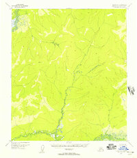
1952 · Nulato A-1
USGS Topo · 1:63,360

1952 · Nulato
USGS Topo · 1:250,000

1952 · Ruby
USGS Topo · 1:250,000
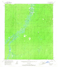
1953 · Nulato B-1
USGS Topo · 1:63,360