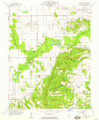
1959 Map of Rudement
USGS Topo · Published 1960About this map
Cottage Grove and the surrounding farmland of Saline County are defined by a complex transition from coal extraction to the wooded slopes of the Shawnee National Forest. In the late 1950s, industrial activity is prominent through the Strip Mines and the Vinyard Mine near the Louisville and Nashville railroad tracks. This extractive landscape contrasts sharply with the southern portion of the map, where the high ridges of Cave Hill and Bald Knob dominate the terrain. Local social structures are well-documented through a dense network of country institutions, including the Big Ridge Ch, Rocky Branch Sch, and isolated burial grounds like Coffee Cem. The hydrological pattern of the area is marked by the winding Saline River and numerous wetland features such as Davis Slough and Parker Lakes, which served as critical landmarks for generations of residents in settlements like Rudement and Somerset.
Find a feature on this map
59 named features on this map. Tap any name to fly to it.
Don’t see what you’re looking for? This feature index may not catch every label — zoom into the map to look around manually.
Map Details
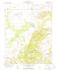
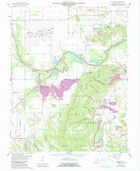
Editions of this 1959 Rudement Map
3 editions found
Other maps of this area

1905 · Eldorado
USGS Topo · 1:62,500

1906 · Eldorado
USGS Topo · 1:62,500

1908 · Galatia
USGS Topo · 1:62,500

1916 · Equality
USGS Topo · 1:62,500

1925 · Harrisburg
USGS Topo · 1:62,500

1938 · Galatia
USGS Topo · 1:62,500

1939 · Harrisburg
USGS Topo · 1:62,500

1949 · Paducah
USGS Topo · 1:250,000

1950 · Paducah
USGS Topo · 1:250,000

1954 · Paducah
USGS Topo · 1:250,000