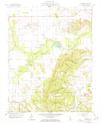
1959 Map of Rudement
USGS Topo · Published 1972About this map
The Saline River and its complex network of forks and sloughs define this section of southern Illinois, where the flat lowlands of the Harrisburg region meet the rising terrain of the Shawnee National Forest. This 1959 survey records a landscape transitioning from agricultural river bottoms to industrial extraction, evidenced by the extensive Strip Mines and a Mine Tunnel located near the Louisville and Nashville railroad tracks in the northeast.
Find a feature on this map
57 named features on this map. Tap any name to fly to it.
Don’t see what you’re looking for? This feature index may not catch every label — zoom into the map to look around manually.
Map Details
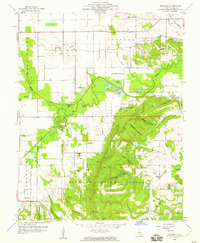
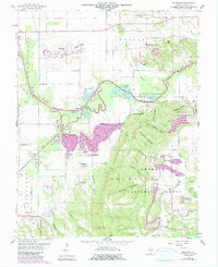
Editions of this 1959 Rudement Map
3 editions found
Other maps of this area

1905 · Eldorado
USGS Topo · 1:62,500

1906 · Eldorado
USGS Topo · 1:62,500

1908 · Galatia
USGS Topo · 1:62,500

1916 · Equality
USGS Topo · 1:62,500

1925 · Harrisburg
USGS Topo · 1:62,500

1938 · Galatia
USGS Topo · 1:62,500

1939 · Harrisburg
USGS Topo · 1:62,500

1949 · Paducah
USGS Topo · 1:250,000

1950 · Paducah
USGS Topo · 1:250,000

1954 · Paducah
USGS Topo · 1:250,000