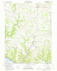
1961 Map of Russellville
USGS Topo · Published 1976About this map
Straight Creek and Gooselick Creek carve through the dissected plateau of northern Brown County, where agricultural patterns are broken by a network of steep-sided ridges and hollows. In the north, Russellville sits at a crossroads, its landscape marked by an Old Railroad Grade and several burial grounds, including the Old Russellville Cem and Linwood Cem Russellville. The map illustrates a rural economy shifting between traditional farming and technical advancement, evidenced by the State Agricultural Experiment Sta.
Find a feature on this map
47 named features on this map. Tap any name to fly to it.
Don’t see what you’re looking for? This feature index may not catch every label — zoom into the map to look around manually.
Map Details
Editions of this 1961 Russellville Map
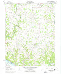
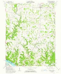
Other maps of this area

1915 · Maysville
USGS Topo · 1:62,500

1918 · Seaman
USGS Topo · 1:62,500

1919 · Maysville
USGS Topo · 1:62,500

1928 · Higginsport
USGS Topo · 1:48,000

1929 · Springdale
USGS Topo · 1:48,000

1931 · Higginsport
USGS Topo · 1:62,500

1935 · Springdale
USGS Topo · 1:62,500

1952 · Maysville East
USGS Topo · 1:24,000

1952 · Germantown
USGS Topo · 1:24,000

1952 · Higginsport
USGS Topo · 1:24,000