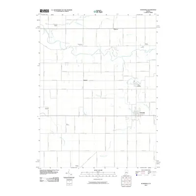
2010 Map of Russiaville
USGS Topo · Published 2010About this map
Russiaville anchors this landscape of productive Midwestern farmland, where a dense network of county roads follows a strict section-line grid across Howard and Clinton Counties. The terrain is defined by a intricate system of drainage ditches and winding waterways, most notably Wildcat Creek and its southern tributaries. These natural watercourses break the geometric regularity of the fields, creating wooded corridors that pass near small historic clusters like Shanghai and New London.
Find a feature on this map
78 named features on this map. Tap any name to fly to it.
Don’t see what you’re looking for? This feature index may not catch every label — zoom into the map to look around manually.
Map Details
Editions of this 2010 Russiaville Map
This is the sole edition of this map. No revisions or reprints were ever made.
Other maps of this area

1953 · Danville
USGS Topo · 1:250,000

1955 · Danville
USGS Topo · 1:250,000

1956 · Danville
USGS Topo · 1:250,000

1959 · Galveston
USGS Topo · 1:24,000

1959 · Young America
USGS Topo · 1:24,000

1960 · Kokomo West
USGS Topo · 1:24,000

1960 · Kempton
USGS Topo · 1:24,000

1961 · Michigantown
USGS Topo · 1:24,000

1961 · Russiaville
USGS Topo · 1:24,000

1961 · Hillisburg
USGS Topo · 1:24,000