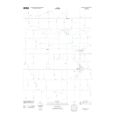
2013 Map of Russiaville
USGS Topo · Published 2013About this map
Russiaville sits at the heart of this agricultural landscape in southwestern Howard County, defined by a dense network of country roads and winding waterways. The town's layout is centered around streets like Seward St and S Liberty St, with Squirrel Cr cutting through the eastern edge. This 2013 survey illustrates the enduring rural character of settlements such as New London and Shanghai, which remain anchored by historic family-named landmarks and local drainage systems.
Find a feature on this map
94 named features on this map. Tap any name to fly to it.
Don’t see what you’re looking for? This feature index may not catch every label — zoom into the map to look around manually.
Map Details
Editions of this 2013 Russiaville Map
This is the sole edition of this map. No revisions or reprints were ever made.
Other maps of this area

1953 · Danville
USGS Topo · 1:250,000

1955 · Danville
USGS Topo · 1:250,000

1956 · Danville
USGS Topo · 1:250,000
1959 · Galveston
USGS Topo · 1:24,000
1959 · Young America
USGS Topo · 1:24,000
1960 · Kokomo West
USGS Topo · 1:24,000
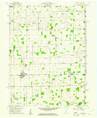
1960 · Kempton
USGS Topo · 1:24,000
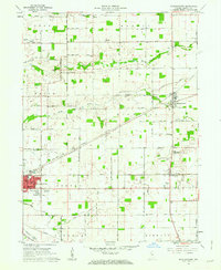
1961 · Michigantown
USGS Topo · 1:24,000
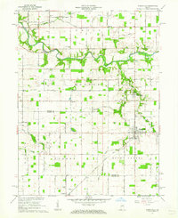
1961 · Russiaville
USGS Topo · 1:24,000
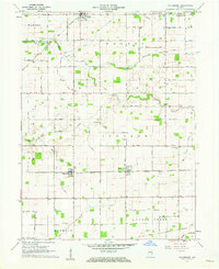
1961 · Hillisburg
USGS Topo · 1:24,000