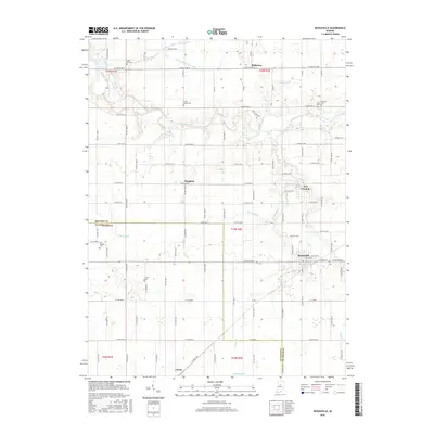
2016 Map of Russiaville
USGS Topo · Published 2016About this map
Russiaville serves as the primary hub on this central Indiana landscape, where the grid of county roads intersects with the natural drainage of the Wildcat Creek system. The area is defined by its agricultural character and a network of small, historic settlements including New London, Shanghai, and Ridgeway. For genealogists, the map is particularly useful for locating smaller burial grounds such as Petes Run Cem, South Union Cem, and Barnett Price Cem, which are often difficult to pinpoint in modern digital records.
Find a feature on this map
57 named features on this map. Tap any name to fly to it.
Don’t see what you’re looking for? This feature index may not catch every label — zoom into the map to look around manually.
Map Details
Editions of this 2016 Russiaville Map
This is the sole edition of this map. No revisions or reprints were ever made.
Other maps of this area

1953 · Danville
USGS Topo · 1:250,000

1955 · Danville
USGS Topo · 1:250,000

1956 · Danville
USGS Topo · 1:250,000

1959 · Galveston
USGS Topo · 1:24,000

1959 · Young America
USGS Topo · 1:24,000

1960 · Kokomo West
USGS Topo · 1:24,000

1960 · Kempton
USGS Topo · 1:24,000

1961 · Michigantown
USGS Topo · 1:24,000

1961 · Russiaville
USGS Topo · 1:24,000

1961 · Hillisburg
USGS Topo · 1:24,000