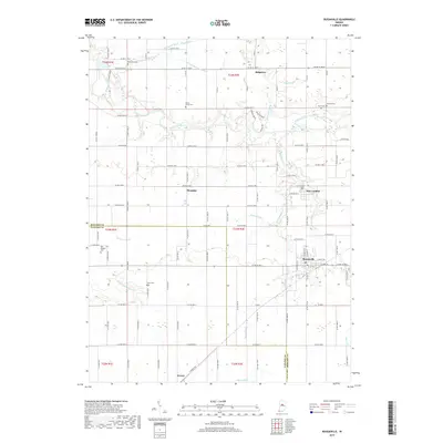
2019 Map of Russiaville
USGS Topo · Published 2019About this map
Russiaville serves as the primary population center on this Indiana landscape, situated where the Honey Creek drainage meets the town's grid. The area is defined by a dense network of county roads that navigate a fertile agricultural plane divided between Howard and Clinton counties. Small, historic clusters like Shanghai, New London, and Ridgeway punctuate the rural stretches, reflecting the traditional settlement patterns of the region.
Find a feature on this map
100 named features on this map. Tap any name to fly to it.
Don’t see what you’re looking for? This feature index may not catch every label — zoom into the map to look around manually.
Map Details
Editions of this 2019 Russiaville Map
This is the sole edition of this map. No revisions or reprints were ever made.
Other maps of this area

1953 · Danville
USGS Topo · 1:250,000

1955 · Danville
USGS Topo · 1:250,000

1956 · Danville
USGS Topo · 1:250,000

1959 · Galveston
USGS Topo · 1:24,000

1959 · Young America
USGS Topo · 1:24,000

1960 · Kokomo West
USGS Topo · 1:24,000

1960 · Kempton
USGS Topo · 1:24,000

1961 · Michigantown
USGS Topo · 1:24,000

1961 · Russiaville
USGS Topo · 1:24,000

1961 · Hillisburg
USGS Topo · 1:24,000