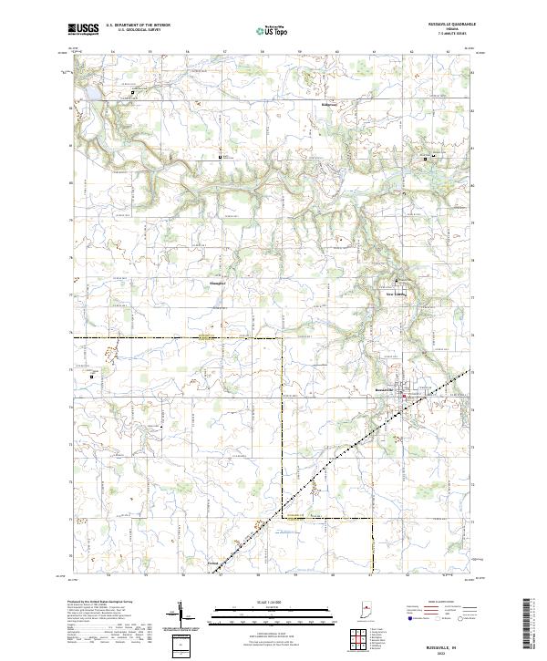
2022 Map of Russiaville
USGS Topo · Published 2022About this map
Russiaville serves as the primary hub in this agricultural region of north-central Indiana, situated just north of the Howard County and Clinton County line. The landscape is defined by an intricate network of waterways managed for drainage, including Wildcat Creek, Honey Cr, and the Walnut Fork. Small crossroads settlements like Shanghai and Ridgeway punctuate the grid of section roads, while New London remains a notable community east of the creek. Genealogists will find significant value in the numerous family and community burial grounds documented here, such as Old Prophet Cem, Petes Run Cem, and Friends Cem. To the southwest, the town of Forest marks the southern extent of the survey near Stump Ditch, reflecting the era's continued reliance on intensive water management to maintain the productive tillable land characteristic of the Tipton Till Plain.
Find a feature on this map
54 named features on this map. Tap any name to fly to it.
Don’t see what you’re looking for? This feature index may not catch every label — zoom into the map to look around manually.
Map Details
Editions of this 2022 Russiaville Map
This is the sole edition of this map. No revisions or reprints were ever made.
Other maps of this area

1953 · Danville
USGS Topo · 1:250,000

1955 · Danville
USGS Topo · 1:250,000

1956 · Danville
USGS Topo · 1:250,000

1959 · Galveston
USGS Topo · 1:24,000

1959 · Young America
USGS Topo · 1:24,000

1960 · Kokomo West
USGS Topo · 1:24,000

1960 · Kempton
USGS Topo · 1:24,000

1961 · Michigantown
USGS Topo · 1:24,000

1961 · Russiaville
USGS Topo · 1:24,000

1961 · Hillisburg
USGS Topo · 1:24,000