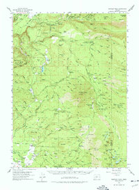
1955 Map of Rustler Peak
USGS Topo · Published 1977About this map
Rustler Peak and the surrounding timberlands of the Jackson and Klamath County line define this mid-century landscape. The map details a transition in the local economy, where established family holdings like Mill-Mar Ranch and Goss Ranch exist alongside the industrial infrastructure of the Butte Railroad and numerous logging roads. Hydroelectric development is evident near Prospect Falls, where the Copco Powerhouse and an aqueduct tap into the Middle Fork Rogue River.
Find a feature on this map
124 named features on this map. Tap any name to fly to it.
Don’t see what you’re looking for? This feature index may not catch every label — zoom into the map to look around manually.
Map Details
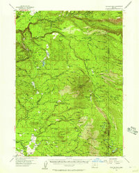
Editions of this 1955 Rustler Peak Map
3 editions found
Other maps of this area

1891 · Ashland
USGS Topo · 1:250,000

1893 · Ashland
USGS Topo · 1:250,000

1897 · Ashland
USGS Topo · 1:250,000

1938 · Medford
USGS Topo · 1:125,000

1944 · Abbott Butte
USGS Topo · 1:62,500

1947 · Abbott Butte
USGS Topo · 1:62,500

1954 · Butte Falls
USGS Topo · 1:62,500

1954 · Lakecreek
USGS Topo · 1:62,500

1955 · Lake O' Woods
USGS Topo · 1:62,500

1955 · Rustler Peak
USGS Topo · 1:62,500