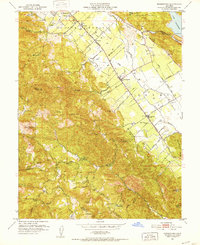
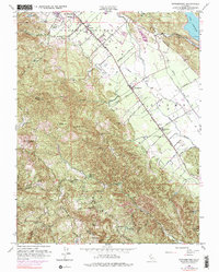
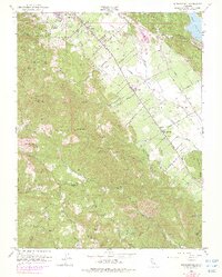
1951 Map of Rutherford
USGS Topo · Published 1952About this map
Napa Valley wine country is captured here during the early 1950s, a period when the valley floor was a structured grid of agricultural lanes and small rail stops. The Southern Pacific line serves as the central corridor, connecting the settlements of Rutherford, Oakville, and Zinfandel. Notable wineries and infrastructure like the gas tank at Thoman indicate the established industrial viticulture of the era, while the Daniel Airfield and numerous small lanes such as Bale Lane and Whitehall Lane suggest a landscape of independent estates and farms before modern large-scale commercial expansion.
Find a feature on this map
62 named features on this map. Tap any name to fly to it.
Don’t see what you’re looking for? This feature index may not catch every label — zoom into the map to look around manually.
Map Details
Editions of this 1951 Rutherford Map
6 editions found
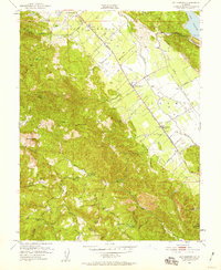
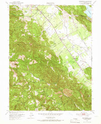
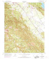
Other maps of this area

1902 · Napa
USGS Topo · 1:125,000

1916 · Santa Rosa
USGS Topo · 1:62,500

1927 · Calistoga
USGS Topo · 1:62,500

1942 · Sonoma
USGS Topo · 1:62,500

1942 · St. Helena
USGS Topo · 1:62,500

1943 · Calistoga
USGS Topo · 1:62,500

1944 · Santa Rosa
USGS Topo · 1:62,500

1945 · Calistoga
USGS Topo · 1:62,500

1945 · St. Helena
USGS Topo · 1:62,500

1947 · Santa Rosa
USGS Topo · 1:250,000