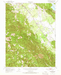
1951 Map of Rutherford
USGS Topo · Published 1966About this map
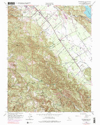
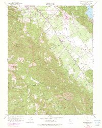
Napa Valley viticulture and industry are well-established in this mid-century portrait of the region between St Helena and Oakville. The Southern Pacific railroad corridor serves as the primary spine for commerce, linking the town of Rutherford and the community of Zinfandel to the broader California market. Several wineries are noted along the valley floor, highlighting the agricultural focus of the era, while the surrounding slopes of Mt St John and Bald Mountain reveal a different economic history. Mining interests are evident at the La Joya Quicksilver Mine and Bella Oak Mine, showing the extraction of minerals alongside the development of the valley's famous vineyards. The presence of the Enterprise Sch and numerous springs like Nuns Iron Spring suggests a scattered but established rural population in the rugged canyons of the Napa and Sonoma county line.
Find a feature on this map
59 named features on this map. Tap any name to fly to it.
Don’t see what you’re looking for? This feature index may not catch every label — zoom into the map to look around manually.
Map Details
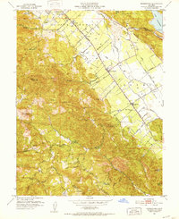
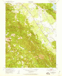
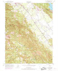
Editions of this 1951 Rutherford Map
6 editions found
Other maps of this area

1902 · Napa
USGS Topo · 1:125,000

1916 · Santa Rosa
USGS Topo · 1:62,500

1927 · Calistoga
USGS Topo · 1:62,500

1942 · Sonoma
USGS Topo · 1:62,500

1942 · St. Helena
USGS Topo · 1:62,500

1943 · Calistoga
USGS Topo · 1:62,500

1944 · Santa Rosa
USGS Topo · 1:62,500

1945 · Calistoga
USGS Topo · 1:62,500

1945 · St. Helena
USGS Topo · 1:62,500

1947 · Santa Rosa
USGS Topo · 1:250,000