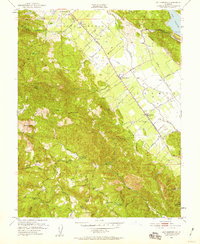
1951 Map of Rutherford
USGS Topo · Published 1959About this map
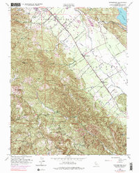
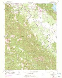
Napa River viticulture and valley life are captured here during the early 1950s, a period when the agricultural identity of the region was centered on small settlements like Rutherford and Oakville. The map illustrates the specialized landscape of the valley floor, where several wineries are marked along the St Helena Highway and the Southern Pacific railroad line. To the west, the terrain rises sharply into the mountains, hiding the La Joya Quicksilver Mine and Bella Oak Mine, alongside family-named landmarks such as Campbell Flat and Montgomery. This survey provides a rare look at infrastructure before later expansion, showing the Daniel Airfield and the remote Enterprise Sch perched above Dry Creek. From the waters of Lake Hennessey in the northeast to the heights of Mt Veeder, the map details a rural California economy balancing mining, farming, and the early stages of its world-famous wine industry.
Find a feature on this map
59 named features on this map. Tap any name to fly to it.
Don’t see what you’re looking for? This feature index may not catch every label — zoom into the map to look around manually.
Map Details
Editions of this 1951 Rutherford Map
6 editions found
Other maps of this area

1902 · Napa
USGS Topo · 1:125,000

1916 · Santa Rosa
USGS Topo · 1:62,500

1927 · Calistoga
USGS Topo · 1:62,500

1942 · Sonoma
USGS Topo · 1:62,500

1942 · St. Helena
USGS Topo · 1:62,500

1943 · Calistoga
USGS Topo · 1:62,500

1944 · Santa Rosa
USGS Topo · 1:62,500

1945 · Calistoga
USGS Topo · 1:62,500

1945 · St. Helena
USGS Topo · 1:62,500

1947 · Santa Rosa
USGS Topo · 1:250,000