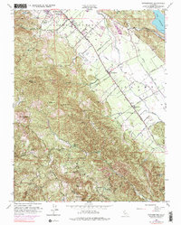
1951 Map of Rutherford
USGS Topo · Published 1976About this map
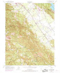
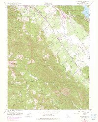
The Napa Valley wine country is captured here during a mid-century period of established viticulture, centered on the primary axis of the St Helena Highway and the Southern Pacific railroad. Small settlements and shipping points like Rutherford, Oakville, Zinfandel, and Thoman punctuate the valley floor between the Napa River and the western foothills. The landscape is defined by its agricultural geometry, with numerous vineyards and wineries situated along local roads like Niebaum Lane and Bella Oaks Lane.
Find a feature on this map
51 named features on this map. Tap any name to fly to it.
Don’t see what you’re looking for? This feature index may not catch every label — zoom into the map to look around manually.
Map Details
Editions of this 1951 Rutherford Map
6 editions found
Other maps of this area

1902 · Napa
USGS Topo · 1:125,000

1916 · Santa Rosa
USGS Topo · 1:62,500

1927 · Calistoga
USGS Topo · 1:62,500

1942 · Sonoma
USGS Topo · 1:62,500

1942 · St. Helena
USGS Topo · 1:62,500

1943 · Calistoga
USGS Topo · 1:62,500

1944 · Santa Rosa
USGS Topo · 1:62,500

1945 · Calistoga
USGS Topo · 1:62,500

1945 · St. Helena
USGS Topo · 1:62,500

1947 · Santa Rosa
USGS Topo · 1:250,000