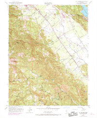
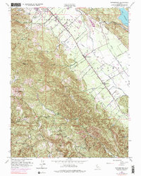
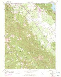
1951 Map of Rutherford
USGS Topo · Published 1969About this map
The Napa Valley wine country is captured in this mid-century topographic record, showing the vital agricultural and industrial infrastructure of the late 1940s and early 1950s. The Southern Pacific rail line runs parallel to the Napa River, connecting established settlements like St Helena, Zinfandel, and Rutherford. This era shows a landscape where early wineries and industrial operations, such as the LaJoya Quicksilver Mine and Bella Oak Mine, operated alongside rural institutions like the Enterprise Sch.
Find a feature on this map
52 named features on this map. Tap any name to fly to it.
Don’t see what you’re looking for? This feature index may not catch every label — zoom into the map to look around manually.
Map Details
Editions of this 1951 Rutherford Map
6 editions found
Other maps of this area

1902 · Napa
USGS Topo · 1:125,000

1916 · Santa Rosa
USGS Topo · 1:62,500

1927 · Calistoga
USGS Topo · 1:62,500

1942 · Sonoma
USGS Topo · 1:62,500

1942 · St. Helena
USGS Topo · 1:62,500

1943 · Calistoga
USGS Topo · 1:62,500

1944 · Santa Rosa
USGS Topo · 1:62,500

1945 · Calistoga
USGS Topo · 1:62,500

1945 · St. Helena
USGS Topo · 1:62,500

1947 · Santa Rosa
USGS Topo · 1:250,000